


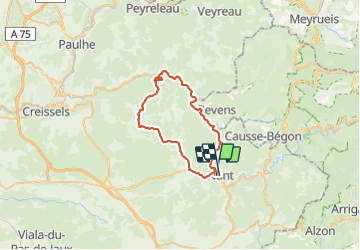

13,5 km | 15,6 km-effort


Gebruiker


Gratisgps-wandelapplicatie
 SityTrail
IGN / Geografische instituten
SityTrail World
De wereld gaat voor u open
Tocht Wegfiets van 43 km beschikbaar op Occitanië, Aveyron, Nant. Deze tocht wordt voorgesteld door ericferon.
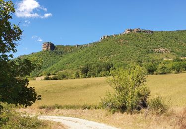
Gorges de la Fournir et plateau du Larzac

Stappen
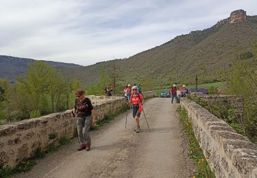
Stappen
Stappen
Stappen
Stappen

Stappen

Lopen
Stappen