


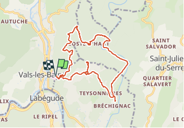

12,2 km | 18,7 km-effort


Gebruiker


Gratisgps-wandelapplicatie
 SityTrail
IGN / Geografische instituten
SityTrail World
De wereld gaat voor u open
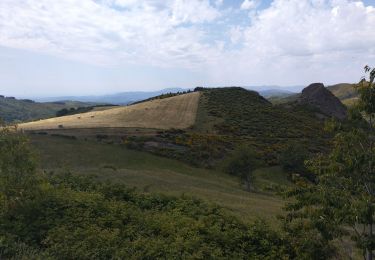
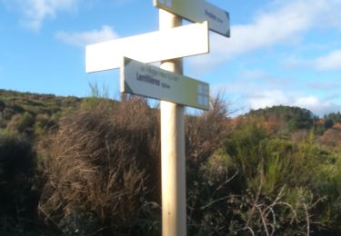
Tocht Stappen van 10,9 km beschikbaar op Auvergne-Rhône-Alpes, Ardèche, Vals-les-Bains. Deze tocht wordt voorgesteld door coureursdecretes.
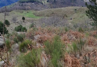
Pas de difficultés majeures. Pas mal en été car beaucoup de sentiers à couvert. Belle vue de la table d'orientation.
Stappen
Stappen
Lopen
Wegfiets
Stappen
Stappen

Stappen
Stappen
Stappen
un dénivelé court et un rythme régulier