


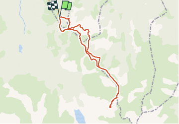

11,5 km | 17 km-effort

Gebruiker


Gratisgps-wandelapplicatie
 SityTrail
IGN / Geografische instituten
SityTrail World
De wereld gaat voor u open
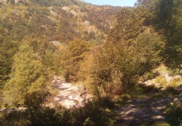
Tocht Stappen van 16,8 km beschikbaar op Occitanië, Ariège, Albiès. Deze tocht wordt voorgesteld door chrisgps.
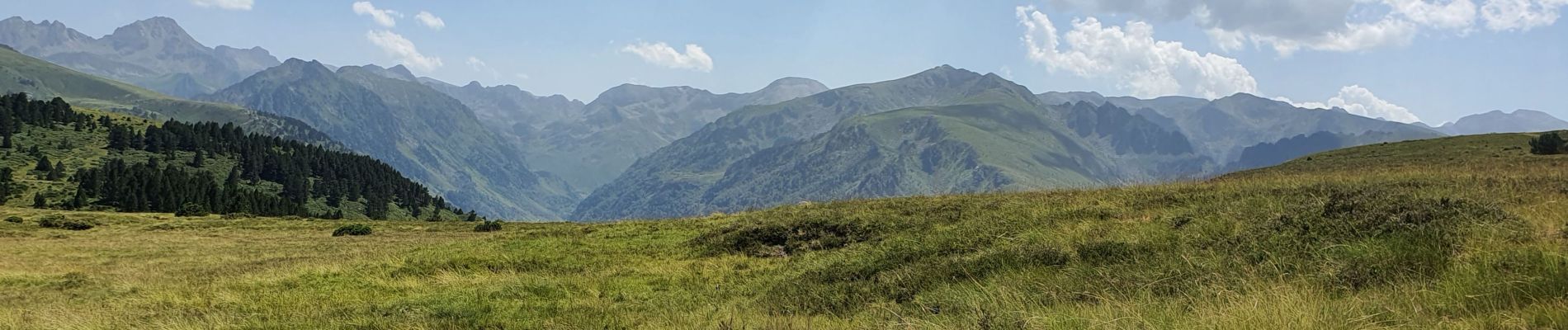
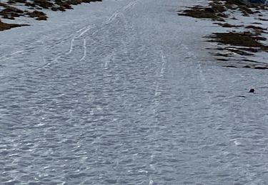
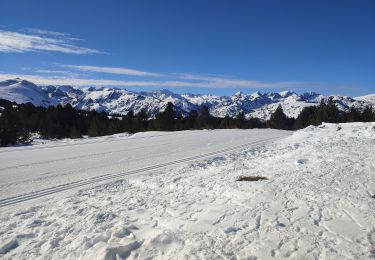
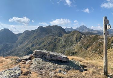
montée côté gauche "hors GR10" jusqu'à 1949m ..................et redescente par GR10 jusqu'à la station.
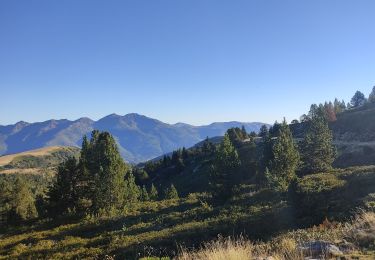
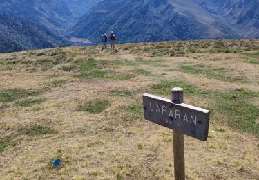
A refaire -en descente- mais par autres sentiers côté gauche vers jasse & orri de Toudous et jasse d'Artaran


Noords wandelen
Sneeuwschoenen
Sneeuwschoenen
Stappen
Stappen
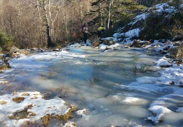
Stappen
Stappen