


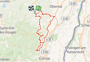

18,8 km | 26 km-effort


Gebruiker


Gratisgps-wandelapplicatie
 SityTrail
IGN / Geografische instituten
SityTrail World
De wereld gaat voor u open
Tocht Paardrijden van 157 km beschikbaar op Grand Est, Bas-Rhin, Belmont. Deze tocht wordt voorgesteld door Sefi78.
4 étapes :
Belmont / Saint-Pierre (32km)
Saint-Pierre / Bergheim (34km)
Bergheim / Bergheim (30km)
Bergheim / Lièpvre (30km)
Lièpvre / Belmont (non effectuée)

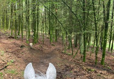
Paardrijden

Stappen

Stappen

Stappen
Stappen

Paardrijden
Paardrijden

Paardrijden

Paardrijden