


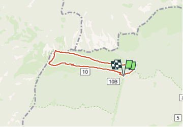


7,1 km | 9,4 km-effort

Gebruiker


Gratisgps-wandelapplicatie
 SityTrail
IGN / Geografische instituten
SityTrail World
De wereld gaat voor u open
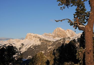
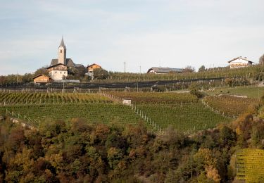
Tocht Stappen van 5,4 km beschikbaar op Trento-Zuid-Tirol, Bolzano - Bozen, Urtijëi - St. Ulrich in Gröden - Ortisei. Deze tocht wordt voorgesteld door VacheKiri67.
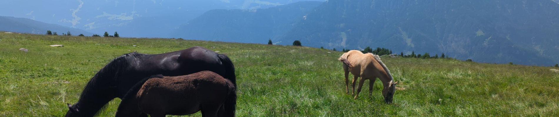
Faite le 18/07/2023 avec nos amis Kristina et Wolfgang (76 et 75 ans). Montée et descente depuis St Ulrich (Ortisei
par le funiculaire.


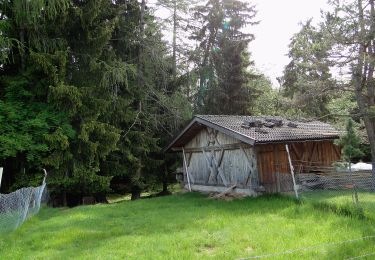
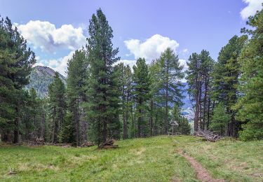
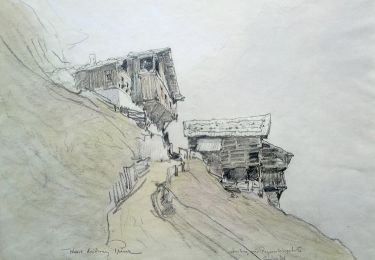
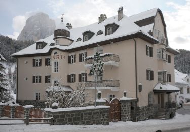
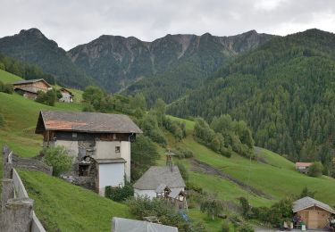
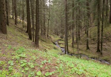
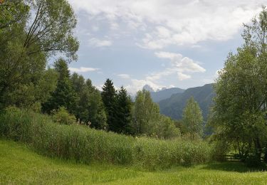
29 fotos in totaal. Klik op een foto om ze allemaal in de galerij weer te geven.
Te voet
Te voet
Te voet
Te voet
Te voet
Te voet
Te voet
Te voet
Te voet