


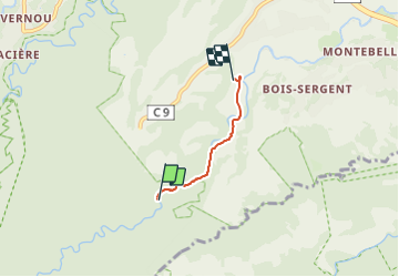

11,8 km | 16,4 km-effort


Gebruiker


Gratisgps-wandelapplicatie
 SityTrail
IGN / Geografische instituten
SityTrail World
De wereld gaat voor u open
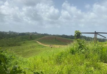
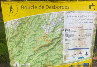
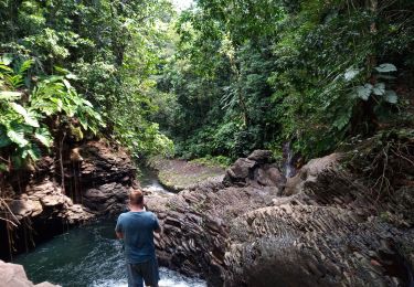
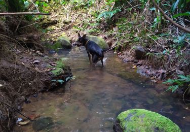
Tocht Stappen van 3,4 km beschikbaar op Guadeloupe, Onbekend, Petit-Bourg. Deze tocht wordt voorgesteld door PhilB24.
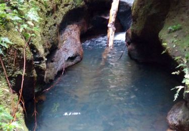
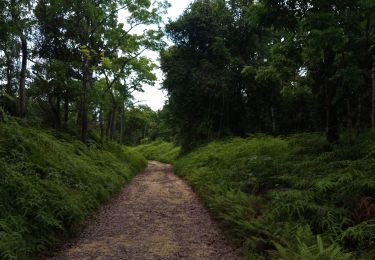
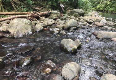
Petite rando sympa à travers une forêt humide luxuriante et dans la rivière moustique. Chemin visible mais pas de traçage. Baignade au bout du canyon. Retour par le meme chemin.
Stappen
Stappen
Stappen
Stappen
Stappen
Andere activiteiten
Stappen
Stappen