


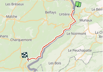

13,8 km | 18,8 km-effort


Gebruiker


Gratisgps-wandelapplicatie
 SityTrail
IGN / Geografische instituten
SityTrail World
De wereld gaat voor u open
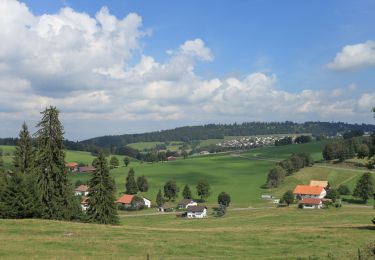
Tocht Stappen van 16,9 km beschikbaar op Bourgondië-Franche-Comté, Doubs, Goumois. Deze tocht wordt voorgesteld door famiski.
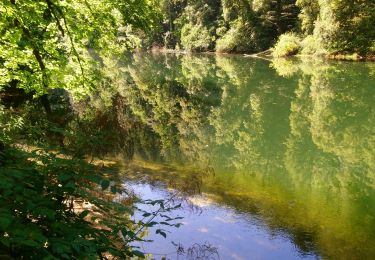
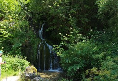
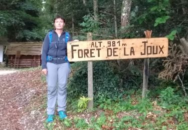
GTJ jusqu'à La Charbonnière du Haut . Je n'ai pas pris la déviation par le bas qui évite le passage bloqué aux échelles de la mort . Le reste de la randonnée est improvisation.
Stappen
Te voet
Te voet
Te voet
Stappen
Stappen

Te voet
Stappen
Stappen