Tocht Stappen Quincy-Voisins - quincy rando 02 07 2023 - Photo
 Tournan
Tournan

Gebruiker

© OpenStreetMap contributors
Lengte
Lengte
19,8 km
Max. hoogte
Max. hoogte
140 m
Positief hoogteverschil
265 m
Km-Effort
Km-Effort  
23 km
Min. hoogte
Min. hoogte
42 m
Negatief hoogteverschil
264 m
Boucle
Boucle
Ja
Datum van aanmaak :
2023-07-02 07:28:42.404
Laatste wijziging :
2023-07-27 07:55:25.136

(0 Bericht)

Stappen
Stappen
5h18
Moeilijkheid : Zeer moeilijk

Scan deze QR-code om de tocht te openen in de SityTrail-applicatie

Gratisgps-wandelapplicatie

Logo SityTrail SityTrail

IGN / Geografische instituten

SityTrail uit de App Store downloaden SityTrail uit Google Play downloaden

Logo SityTrail SityTrail World

De wereld gaat voor u open

SityTrail uit de App Store downloaden SityTrail uit Google Play downloaden SityTrail op Huawei AppGallery downloaden

Over ons

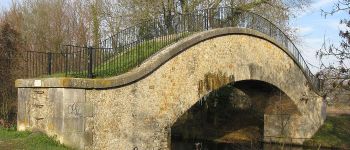
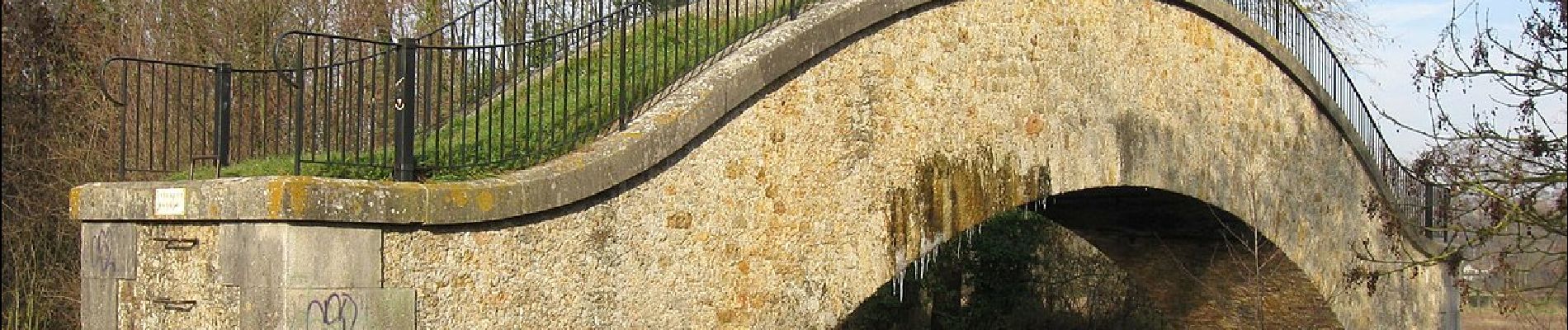
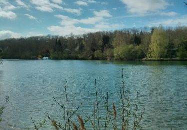
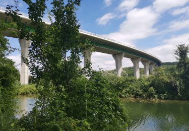
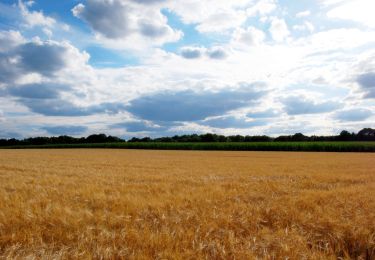
Tocht Stappen van 19,8 km beschikbaar op Île-de-France, Seine-et-Marne, Quincy-Voisins. Deze tocht wordt voorgesteld door Tournan.

Hoogteprofiel

Foto's

POI's

POI Quincy-Voisins - L'église paroissiale Saint-Denis - Photo
Tournan
POI Quincy-Voisins - Le château de Quincy-Voisins et son parc - Photo
Tournan
POI Quincy-Voisins - Ferme de Charny - Photo
Tournan
QUINCY-VOISINS 
POI Couilly-Pont-aux-Dames - Église Saint-Georges de Couilly-Pont-aux-Dames - Photo
Tournan
COUILLY-PONT-AUX-DAMES 
POI Montry - Canal du Grand Morin - Photo
Tournan
POI Condé-Sainte-Libiaire - Infrastructure de l’aqueduc de la Dhuis à Montry - Photo
Tournan
CONDÉ-SAINTE-LIBIAIRE 
POI Quincy-Voisins - L’aqueduc de la Dhuis - Photo
Tournan
QUINCY-VOISINS 

Plaatsbepaling

Land:
France
Regio :
Île-de-France
Departement/Provincie :
Seine-et-Marne
Gemeente :
Quincy-Voisins
Locatie:
Unknown
Vertrek:(UTM)
490629 ; 5416401 (31U) N.

Wandeltochten in de omgeving

Tocht Mountainbike Nanteuil-lès-Meaux - tite boucle Nanteuil par l'eau - Photo
Mountainbike
benbass77

Mountainbike

Gemakkelijk
(1)
Nanteuil-lès-Meaux, Île-de-France, Seine-et-Marne, France
23 km | 26 km-effort
1h 48min
Ja
Tocht Stappen Crécy-la-Chapelle - Boucle 28 km autour de Crecy la Chapelle - Guérard - Voulangis - Tigeaux - Photo
Stappen
GUIDE
chessyca

Stappen

Medium
Crécy-la-Chapelle, Île-de-France, Seine-et-Marne, France
28 km | 35 km-effort
5h 46min
Ja
Tocht Stappen Crécy-la-Chapelle - Crécy la Chapelle Parcours normal - Photo
Stappen
CC.RIDER

Stappen

Gemakkelijk
(1)
Crécy-la-Chapelle, Île-de-France, Seine-et-Marne, France
16,1 km | 19,5 km-effort
4h 18min
Ja
Tocht Stappen Crécy-la-Chapelle - Crécy la chapelle - Photo
Stappen
CC.RIDER

Stappen

Gemakkelijk
(2)
Crécy-la-Chapelle, Île-de-France, Seine-et-Marne, France
19,7 km | 24 km-effort
5h 12min
Ja
Tocht Stappen Crécy-la-Chapelle - Crécy la Chapelle - Photo
Stappen
jctinchebray

Stappen

Medium
(1)
Crécy-la-Chapelle, Île-de-France, Seine-et-Marne, France
16,4 km | 20 km-effort
4h 23min
Ja
Tocht Stappen Esbly - Randonnée douce - Photo
Stappen
rafa77

Stappen

Heel gemakkelijk
(1)
Esbly, Île-de-France, Seine-et-Marne, France
8,1 km | 8,8 km-effort
Onbekend
Ja
Tocht Stappen Esbly - GR15-05 Esbly à Meaux - Photo
Stappen
clalaur

Stappen

Moeilijk
Esbly, Île-de-France, Seine-et-Marne, France
11,1 km | 12,2 km-effort
2h 46min
Neen
Tocht Stappen Esbly - Esbly -Couilly - Quincy - Photo
Stappen
Tournan

Stappen

Gemakkelijk
(1)
Esbly, Île-de-France, Seine-et-Marne, France
14,1 km | 16,5 km-effort
3h 44min
Ja
Tocht Stappen Crécy-la-Chapelle - Les coteaux du Grand Morin - Photo
Stappen
Bntg

Stappen

Medium
Crécy-la-Chapelle, Île-de-France, Seine-et-Marne, France
11,8 km | 14,3 km-effort
3h 6min
Ja


Sluiten
Mijn abonnementen