


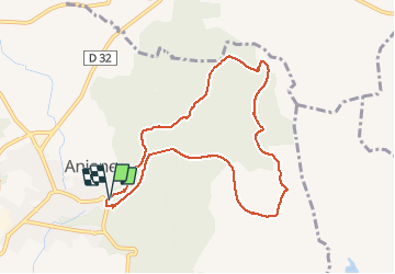

11 km | 15,2 km-effort


Gebruiker


Gratisgps-wandelapplicatie
 SityTrail
IGN / Geografische instituten
SityTrail World
De wereld gaat voor u open
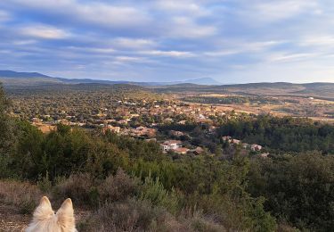
Tocht Stappen van 9,5 km beschikbaar op Occitanië, Hérault, Aniane. Deze tocht wordt voorgesteld door kephas.
Parcours sans difficulté : au départ proche du ruisseau, le retour s'effectue sur un ancien trace de voie ferrée. Un passage en tunnel : se munir de lampes torches.


Stappen

Stappen

Stappen
Stappen

Stappen
Stappen
Stappen
Stappen
Stappen
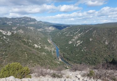
chouette Rando. Attention à éviter en hiver ou après de fortes pluies, sinon les premiers kilomètres se feront dans l'eau car la rivière déborde sur le sentier.