


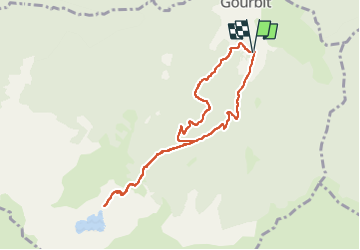

11,9 km | 23 km-effort


Gebruiker


Gratisgps-wandelapplicatie
 SityTrail
IGN / Geografische instituten
SityTrail World
De wereld gaat voor u open
Tocht Stappen van 8,8 km beschikbaar op Occitanië, Ariège, Gourbit. Deze tocht wordt voorgesteld door chrisgps.
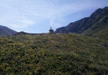
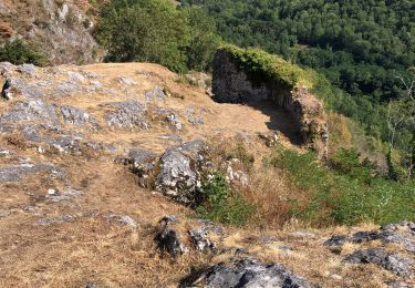
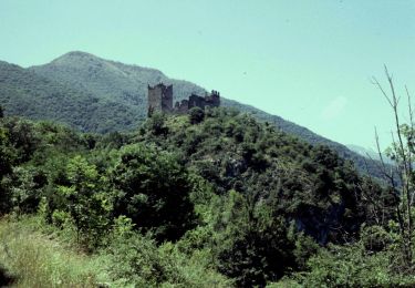
....par un départ "hors sentier"..........
Les conditions (terrain et temps couvert) n'étant pas très favorables....retour sur le chemin plus "classique" !
Stappen

Stappen

Stappen
Stappen
Elektrische fiets
Elektrische fiets
Te voet

Te voet
Stappen