


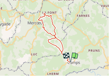

29 km | 39 km-effort

Gebruiker


Gratisgps-wandelapplicatie
 SityTrail
IGN / Geografische instituten
SityTrail World
De wereld gaat voor u open
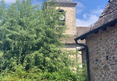
Tocht Stappen van 14 km beschikbaar op Nieuw-Aquitanië, Corrèze, Camps-Saint-Mathurin-Léobazel. Deze tocht wordt voorgesteld door houbart.
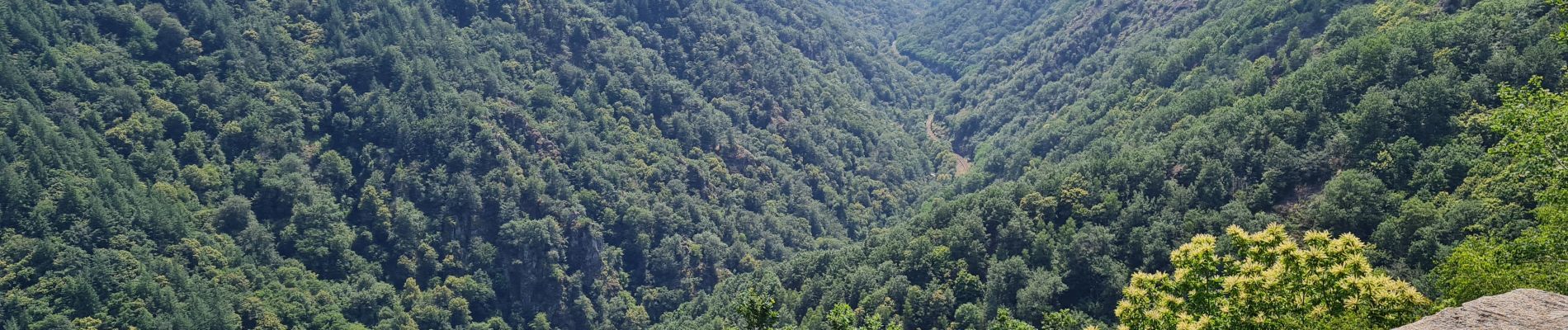
Après ou avant la rando, se rendre au Rocher du peintre, à 500 m du village. Vue sur les gorges de la Cère.


Stappen

Stappen
Stappen

Elektrische fiets
Stappen

Paardrijden

Motor
Paard

Lopen