


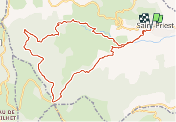


18,1 km | 28 km-effort


Gebruiker


Gratisgps-wandelapplicatie
 SityTrail
IGN / Geografische instituten
SityTrail World
De wereld gaat voor u open
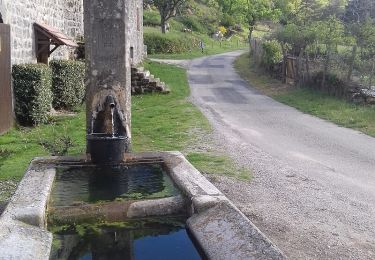
Tocht Stappen van 12,7 km beschikbaar op Auvergne-Rhône-Alpes, Ardèche, Saint-Priest. Deze tocht wordt voorgesteld door Delahalle.
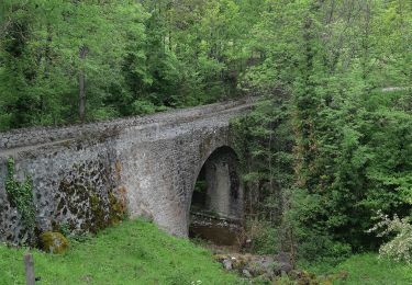
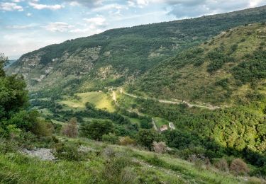
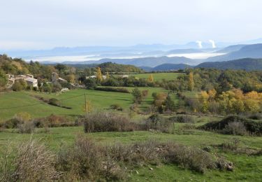
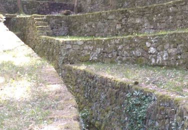
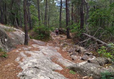
Parcours très agréable, de beaux points de vue, une très belle forêt et une fin de parcours dans les gorges de l'Ouvèze magnifique.

Stappen
Stappen
Stappen

Stappen
Stappen
Stappen

Stappen
Stappen
Stappen