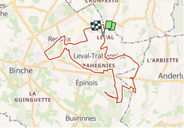

7,9 km | 9,6 km-effort


Gebruiker


Gratisgps-wandelapplicatie
 SityTrail
IGN / Geografische instituten
SityTrail World
De wereld gaat voor u open
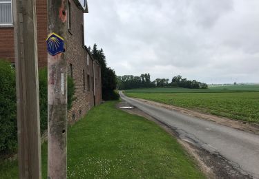
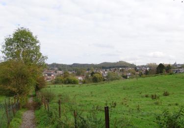
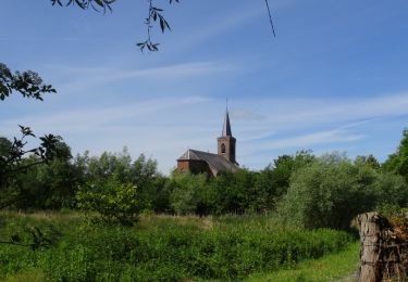
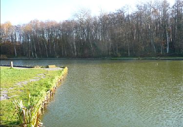
Tocht Stappen van 21 km beschikbaar op Wallonië, Henegouwen, Binche. Deze tocht wordt voorgesteld door jeangulu.
Organisateur : HT 031 _ LES TATANES AILEES EPINOIS.
Marche des Bois.
Point de départ : Cercle <<L'Union >> _ Rue S.Allendé 208 ( Grand'Place ) _ 7134 - LEVAL-TRAHEGNIES.
Carte IGN : 46/6.
Remarque : Chaleur torride - dommage un seul contrôle sur le parcours des 20 kms
Stappen
Stappen
Stappen
Stappen

Stappen

Noords wandelen
Te voet
Stappen