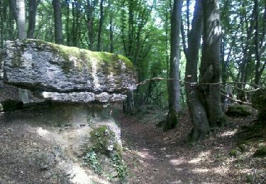
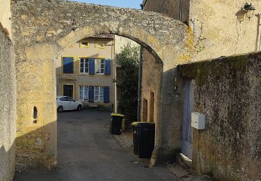
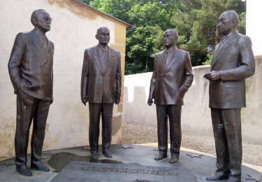
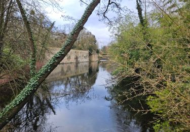
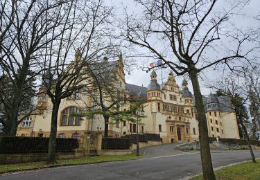
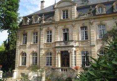
Tocht 4x4 Augny - J1 - Augny - Les Monthairons - Photo

J1 - Augny - Les Monthairons

 Gauthier B
Gauthier B

Gebruiker

© OpenStreetMap contributors
Lengte
Lengte
81 km
Max. hoogte
Max. hoogte
402 m
Positief hoogteverschil
1348 m
Km-Effort
Km-Effort  
99 km
Min. hoogte
Min. hoogte
163 m
Negatief hoogteverschil
1313 m
Boucle
Boucle
Neen
Datum van aanmaak :
2023-06-05 14:03:43.452
Laatste wijziging :
2023-06-08 13:23:21.517

(0 Bericht)

4x4
4x4
0m
Moeilijkheid : Heel gemakkelijk

Scan deze QR-code om de tocht te openen in de SityTrail-applicatie

Gratisgps-wandelapplicatie

Logo SityTrail SityTrail

IGN / Geografische instituten

SityTrail uit de App Store downloaden SityTrail uit Google Play downloaden

Logo SityTrail SityTrail World

De wereld gaat voor u open

SityTrail uit de App Store downloaden SityTrail uit Google Play downloaden SityTrail op Huawei AppGallery downloaden

Over ons

Tocht 4x4 van 81 km beschikbaar op Grand Est, Moselle, Augny. Deze tocht wordt voorgesteld door Gauthier B.

Hoogteprofiel

Plaatsbepaling

Land:
France
Regio :
Grand Est
Departement/Provincie :
Moselle
Gemeente :
Augny
Locatie:
Unknown
Vertrek:(UTM)
288714 ; 5440201 (32U) N.

Wandeltochten in de omgeving

Tocht Stappen Ancy-Dornot - Dornot - Croix saint clément - pierre qui tourne - rochers de la Fraze - Photo
Stappen
pascalcla

Stappen

Medium
(3)
Ancy-Dornot, Grand Est, Moselle, France
13,2 km | 17,8 km-effort
3h 0min
Ja
Tocht Te voet Vaux - Circuit de la Vallée de la Mance - Photo
Te voet
GUIDE+

Te voet

Gemakkelijk
Vaux, Grand Est, Moselle, France
12 km | 16 km-effort
3h 37min
Ja
Tocht Te voet Scy-Chazelles - Circuit Robert Schuman - Photo
Te voet
GUIDE+

Te voet

Gemakkelijk
Scy-Chazelles, Grand Est, Moselle, France
3,5 km | 5 km-effort
1h 7min
Neen
Tocht Te voet Scy-Chazelles - Circuit du Tour du Mont St Quentin - Photo
Te voet
GUIDE+

Te voet

Gemakkelijk
Scy-Chazelles, Grand Est, Moselle, France
4,9 km | 6,7 km-effort
1h 31min
Neen
Tocht Mountainbike Rozérieulles - Circuit des Crapauds 2011 - Rozérieulles - Photo
Mountainbike
tracegps

Mountainbike

Moeilijk
(2)
Rozérieulles, Grand Est, Moselle, France
12,4 km | 16,7 km-effort
1h 0min
Ja
Tocht Te voet Châtel-Saint-Germain - Circuit de la Ferme Saint-Georges - Photo
Te voet
GUIDE+

Te voet

Gemakkelijk
Châtel-Saint-Germain, Grand Est, Moselle, France
3,8 km | 5,5 km-effort
1h 14min
Neen
Tocht Fiets Metz - Metz - Nancy  - Photo
Fiets
pipistop

Fiets

Heel gemakkelijk
Metz, Grand Est, Moselle, France
68 km | 75 km-effort
6h 2min
Neen
Tocht Fiets Montigny-lès-Metz - Charles le téméraire  - Photo
Fiets
pipistop

Fiets

Gemakkelijk
Montigny-lès-Metz, Grand Est, Moselle, France
46 km | 50 km-effort
4h 32min
Ja
Tocht Stappen Longeville-lès-Metz - St Quentin Scy Longeville - Photo
Stappen
ayroles

Stappen

Gemakkelijk
Longeville-lès-Metz, Grand Est, Moselle, France
6 km | 8,2 km-effort
1h 45min
Ja


Sluiten
Mijn abonnementen