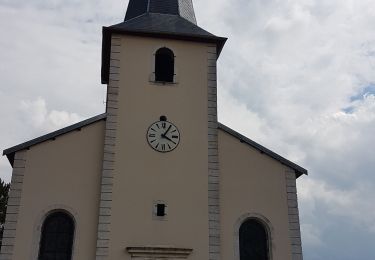
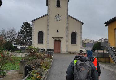
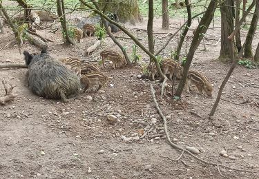
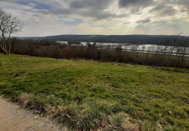
Tocht  Xeuilley - 2023-05-30_12h06m27_F977 La ferme du Breuil - Photo

2023-05-30_12h06m27_F977 La ferme du Breuil

© OpenStreetMap contributors
Lengte
Lengte
12,2 km
Max. hoogte
Max. hoogte
296 m
Positief hoogteverschil
146 m
Km-Effort
Km-Effort  
14,1 km
Min. hoogte
Min. hoogte
231 m
Negatief hoogteverschil
146 m
Boucle
Boucle
Ja
Datum van aanmaak :
2023-05-30 10:06:27.71
Laatste wijziging :
2023-05-30 10:06:29.821

(0 Bericht)


Scan deze QR-code om de tocht te openen in de SityTrail-applicatie

Gratisgps-wandelapplicatie

Logo SityTrail SityTrail

IGN / Geografische instituten

SityTrail uit de App Store downloaden SityTrail uit Google Play downloaden

Logo SityTrail SityTrail World

De wereld gaat voor u open

SityTrail uit de App Store downloaden SityTrail uit Google Play downloaden SityTrail op Huawei AppGallery downloaden

Over ons

Tocht van 12,2 km beschikbaar op Grand Est, Meurthe-et-Moselle, Xeuilley. Deze tocht wordt voorgesteld door Pierre et Martine.

Hoogteprofiel

Plaatsbepaling

Land:
France
Regio :
Grand Est
Departement/Provincie :
Meurthe-et-Moselle
Gemeente :
Xeuilley
Locatie:
Unknown
Vertrek:(UTM)
285969 ; 5383290 (32U) N.

Wandeltochten in de omgeving

Tocht Stappen Bainville-sur-Madon - Bainville sur Madon - Photo
Stappen
joelclaudel

Stappen

Medium
(3)
Bainville-sur-Madon, Grand Est, Meurthe-et-Moselle, France
18,3 km | 23 km-effort
4h 15min
Ja
Tocht Stappen Bainville-sur-Madon - BAINVILLE SUR MADON - CIRCUIT VOIVRE ET JACQUES CALLOT - Photo
Stappen
jean-marie.parachini

Stappen

Medium
Bainville-sur-Madon, Grand Est, Meurthe-et-Moselle, France
19,8 km | 24 km-effort
5h 44min
Ja
Tocht Stappen Maizières - viterne du 14.12.2013 - Photo
Stappen
castelli

Stappen

Gemakkelijk
(2)
Maizières, Grand Est, Meurthe-et-Moselle, France
7,6 km | 9,5 km-effort
2h 6min
Neen
Tocht Stappen Maizières - Randoguide - Photo
Stappen
virginieHurpeau

Stappen

Medium
(2)
Maizières, Grand Est, Meurthe-et-Moselle, France
9,4 km | 12,9 km-effort
2h 19min
Ja
Tocht Stappen Pont-Saint-Vincent - Le chemin des mines - Photo
Stappen
noelphil

Stappen

Moeilijk
Pont-Saint-Vincent, Grand Est, Meurthe-et-Moselle, France
13 km | 16,6 km-effort
3h 39min
Ja
Tocht Stappen Xeuilley - Audax Xeuilley - Photo
Stappen
Toyot 8

Stappen

Medium
Xeuilley, Grand Est, Meurthe-et-Moselle, France
25 km | 28 km-effort
4h 3min
Ja
Tocht Mountainbike Méréville - Sortie 5 - Photo
Mountainbike
JeanPierreNancy

Mountainbike

Gemakkelijk
Méréville, Grand Est, Meurthe-et-Moselle, France
30 km | 36 km-effort
3h 10min
Neen
Tocht Stappen Richardménil - Richardmenil - Photo
Stappen
JJG54

Stappen

Heel gemakkelijk
Richardménil, Grand Est, Meurthe-et-Moselle, France
6,4 km | 7,2 km-effort
1h 39min
Ja
Tocht Stappen Thélod - thélod  - Photo
Stappen
ardou5455

Stappen

Heel gemakkelijk
Thélod, Grand Est, Meurthe-et-Moselle, France
18,7 km | 24 km-effort
5h 0min
Ja


Sluiten
Mijn abonnementen