


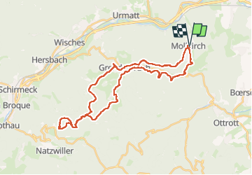

18,7 km | 26 km-effort

Gebruiker GUIDE


Gratisgps-wandelapplicatie
 SityTrail
IGN / Geografische instituten
SityTrail World
De wereld gaat voor u open
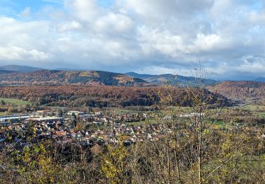
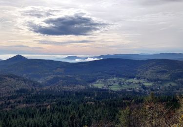
Tocht Paardrijden van 36 km beschikbaar op Grand Est, Bas-Rhin, Mollkirch. Deze tocht wordt voorgesteld door holtzv.
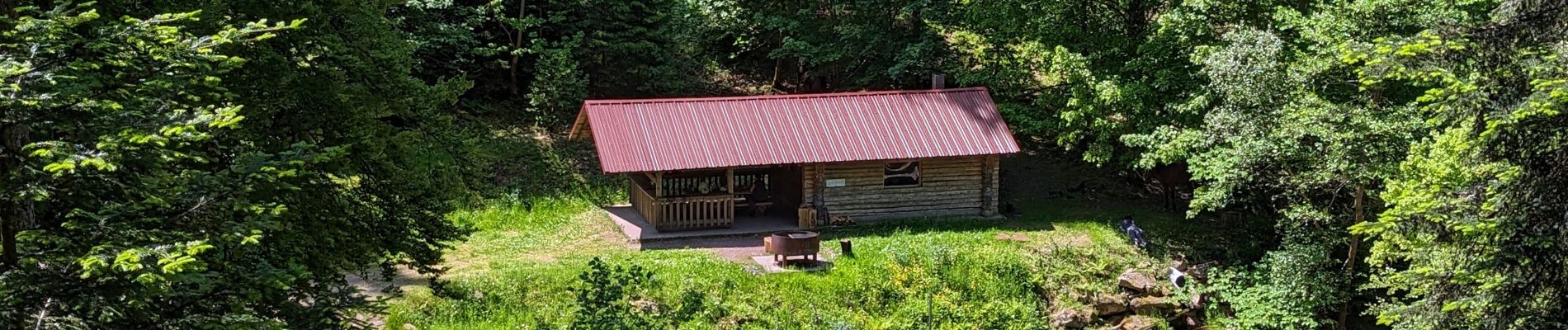
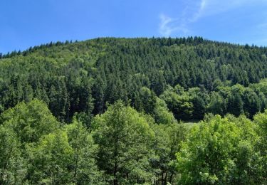
Sortie en boucle depuis Mollkirch pour rejoindre la jolie cabane des 5 routes sous le Struthof en passant par le Hohbuhl, Grendelbruch et le château du Guirbaden.


Stappen

Mountainbike
Mountainbike

Mountainbike
Paardrijden

Paardrijden
Paardrijden

Paardrijden
Paardrijden