


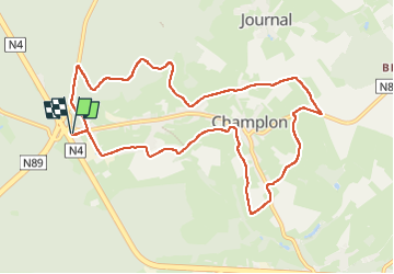

12,3 km | 15,8 km-effort


Gebruiker GUIDE


Gratisgps-wandelapplicatie
 SityTrail
IGN / Geografische instituten
SityTrail World
De wereld gaat voor u open
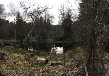
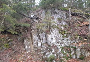
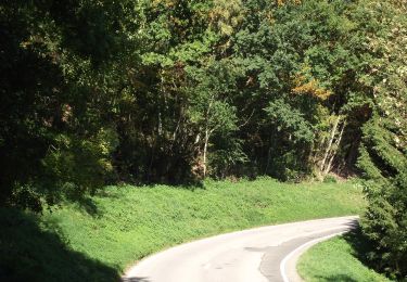
Tocht Stappen van 9,9 km beschikbaar op Wallonië, Luxemburg, Tenneville. Deze tocht wordt voorgesteld door Bernard Gillet.
Parcours de 10km essentiellement routes et chemins campagnards très peu de bois. Manque de panneaux info sécurité 😱pour les voitures sur les grands routes sinon très bon balisage.🙂
Stappen
Stappen
Stappen
Te voet
Stappen
Te voet
Te voet
Te voet
Te voet