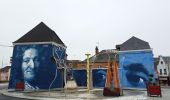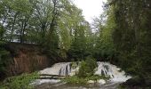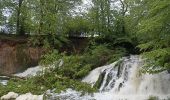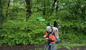

de Hirson, au domaine de Dangy, jusqu'à Signy le Petit

jeff2
Gebruiker

Lengte
22 km

Max. hoogte
271 m

Positief hoogteverschil
235 m

Km-Effort
25 km

Min. hoogte
166 m

Negatief hoogteverschil
175 m
Boucle
Neen
Datum van aanmaak :
2023-05-11 05:03:04.26
Laatste wijziging :
2023-05-11 13:02:31.487
7h58
Moeilijkheid : Medium

Gratisgps-wandelapplicatie
Over ons
Tocht Stappen van 22 km beschikbaar op Hauts-de-France, Aisne, Hirson. Deze tocht wordt voorgesteld door jeff2.
Beschrijving
Madame le Maire de Signy le petit nous accueille dans les locaux de la mairie.
Départ demain pour Rocroi. Nous sommes dans les Ardennes.
Plaatsbepaling
Land:
France
Regio :
Hauts-de-France
Departement/Provincie :
Aisne
Gemeente :
Hirson
Locatie:
Unknown
Vertrek:(Dec)
Vertrek:(UTM)
578187 ; 5532829 (31U) N.
Opmerkingen
Wandeltochten in de omgeving

2023-10-02_06h00m24_13KMS MARCHE


Noords wandelen
Medium
(1)
Hirson,
Hauts-de-France,
Aisne,
France

7,8 km | 9,6 km-effort
Onbekend
Ja

2023-10-02_06h00m24_13KMS MARCHE


Noords wandelen
Medium
(1)
Hirson,
Hauts-de-France,
Aisne,
France

12,4 km | 15,2 km-effort
Onbekend
Ja
Rando VTT des Verts de Terre 2018 - 70KM : 1200m


Mountainbike
Medium
Saint-Michel,
Hauts-de-France,
Aisne,
France

76 km | 92 km-effort
4h 52min
Ja
Véloroute3 de Hirson à Maubeuge


Fiets
Medium
Hirson,
Hauts-de-France,
Aisne,
France

66 km | 76 km-effort
3h 10min
Neen
Entre l'Oise et le Thon - Hirson


Stappen
Medium
(1)
Hirson,
Hauts-de-France,
Aisne,
France

52 km | 60 km-effort
3h 0min
Ja
Waterval


sport
Heel gemakkelijk
Hirson,
Hauts-de-France,
Aisne,
France

3,6 km | 4 km-effort
Onbekend
Neen
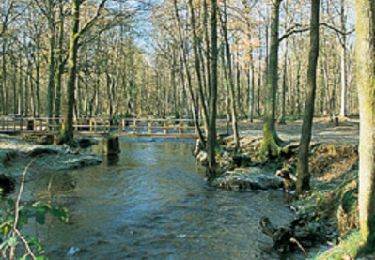
Le pré-Lorquin


Mountainbike
Zeer moeilijk
Saint-Michel,
Hauts-de-France,
Aisne,
France

20 km | 25 km-effort
4h 0min
Ja
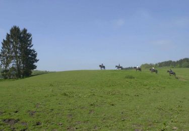
Les Forges


Stappen
Medium
Hirson,
Hauts-de-France,
Aisne,
France

10,2 km | 12,4 km-effort
2h 45min
Ja
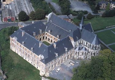
L'abbaye de Saint-Michel


Stappen
Gemakkelijk
(2)
Saint-Michel,
Hauts-de-France,
Aisne,
France

5,8 km | 7,4 km-effort
1h 30min
Ja


 SityTrail


