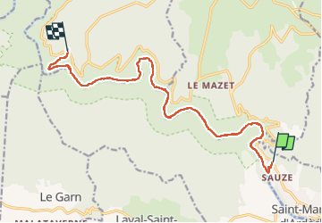

12,6 km | 17 km-effort

Gebruiker GUIDE


Gratisgps-wandelapplicatie
 SityTrail
IGN / Geografische instituten
SityTrail World
De wereld gaat voor u open
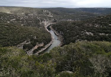
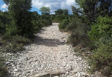
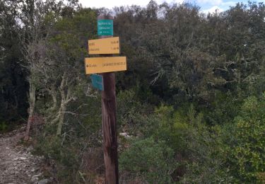
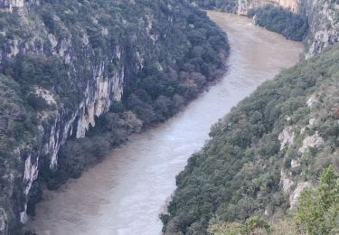
Tocht Stappen van 14,9 km beschikbaar op Auvergne-Rhône-Alpes, Ardèche, Saint-Martin-d'Ardèche. Deze tocht wordt voorgesteld door nadd73.
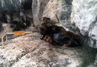
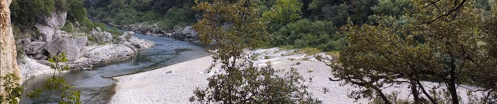
Quelques échelles et barres pour sécuriser certains passages aériens. un passage en rampant dans une cavité naturelle. pleins d'endroits pour se baigner.


Stappen
Stappen
Stappen
Stappen
Stappen
Stappen