


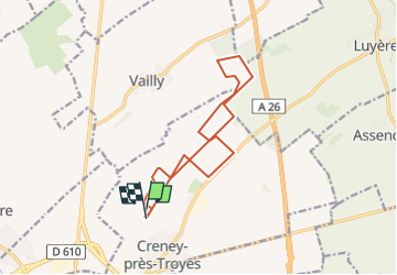

6,7 km | 7,2 km-effort


Gebruiker


Gratisgps-wandelapplicatie
 SityTrail
IGN / Geografische instituten
SityTrail World
De wereld gaat voor u open
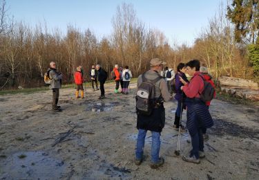
Tocht Te voet van 12,8 km beschikbaar op Grand Est, Aube, Creney-près-Troyes. Deze tocht wordt voorgesteld door Dixrice.
Stappen
Stappen
Stappen
Stappen
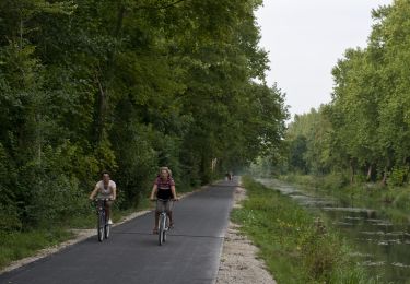
Fiets

Noords wandelen

Wegfiets
Mountainbike