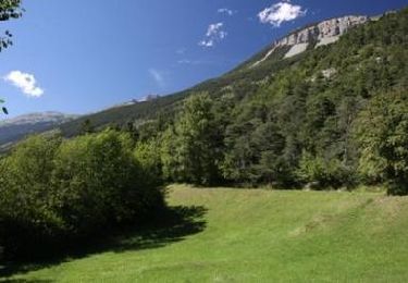
Tocht Stappen Crans-Montana - The Ertenze botanic paths - Photo

The Ertenze botanic paths

Randonnées de la Maison du tourisme de Crans-Montana GUIDE+

© OpenStreetMap contributors
Lengte
Lengte
12,7 km
Max. hoogte
Max. hoogte
2528 m
Positief hoogteverschil
1385 m
Km-Effort
Km-Effort  
29 km
Min. hoogte
Min. hoogte
1373 m
Negatief hoogteverschil
626 m
Boucle
Boucle
Neen
Datum van aanmaak :
2014-12-10 00:00:00.0
Laatste wijziging :
2014-12-10 00:00:00.0

(0 Bericht)

Stappen
Stappen
6h51
Moeilijkheid : Onbekend

Scan deze QR-code om de tocht te openen in de SityTrail-applicatie

Gratisgps-wandelapplicatie

Logo SityTrail SityTrail

IGN / Geografische instituten

SityTrail uit de App Store downloaden SityTrail uit Google Play downloaden

Logo SityTrail SityTrail World

De wereld gaat voor u open

SityTrail uit de App Store downloaden SityTrail uit Google Play downloaden SityTrail op Huawei AppGallery downloaden

Over ons

Tocht Stappen van 12,7 km beschikbaar op Valais/Wallis, Sierre, Crans-Montana. Deze tocht wordt voorgesteld door Maison du Tourisme Crans-Montana.

Beschrijving

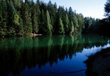
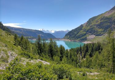
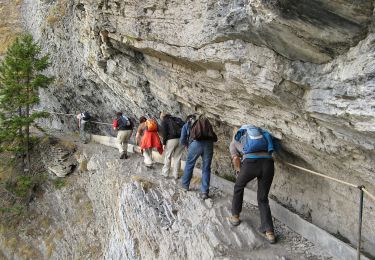
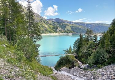
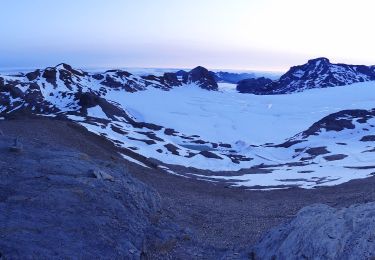
These routes follow the paths once used by inhabitants and cattle who moved around from the villages (Icogne, Lens) to the mayens, then up to the Alpine pastures , following the seasons and the growth of grass and plants.

Hoogteprofiel

POI's

POI Lens - Départ Télécabine Crans- Cry d'Er - Photo
Maison du Tourisme Crans-Montana
POI Lens -  - Photo
Maison du Tourisme Crans-Montana
LENS 
POI Crans-Montana -  - Photo
Maison du Tourisme Crans-Montana
CRANS-MONTANA 

Plaatsbepaling

Land:
Switzerland
Regio :
Valais/Wallis
Departement/Provincie :
Sierre
Gemeente :
Crans-Montana
Locatie:
Unknown
Vertrek:(Dec)
Vertrek:(UTM)
382147 ; 5129462 (32T) N.

Wandeltochten in de omgeving

Tocht Mountainbike Crans-Montana - Tour des villages - Photo
Mountainbike
GUIDE+

Mountainbike

Heel gemakkelijk
(1)
Crans-Montana, Valais/Wallis, Sierre, Switzerland
23 km | 35 km-effort
3h 0min
Ja
Tocht Te voet Lens - Cran - Er de Chermignon (Ancien bisse du Ro) - Photo
Te voet
GUIDE+

Te voet

Gemakkelijk
Lens, Valais/Wallis, Sierre, Switzerland
6,1 km | 11,5 km-effort
2h 37min
Neen
Tocht Te voet Icogne - Pra du taillour-Pas de l'ours - Photo
Te voet
GUIDE+

Te voet

Gemakkelijk
Icogne, Valais/Wallis, Sierre, Switzerland
4 km | 7,6 km-effort
1h 42min
Neen
Tocht Te voet Icogne - Er de Chermignon-Pra du Taillour - Photo
Te voet
GUIDE+

Te voet

Gemakkelijk
Icogne, Valais/Wallis, Sierre, Switzerland
6,4 km | 10,2 km-effort
2h 19min
Neen
Tocht Te voet Crans-Montana - Plaine Morte-Les Violettes - Photo
Te voet
GUIDE+

Te voet

Gemakkelijk
Crans-Montana, Valais/Wallis, Sierre, Switzerland
4,5 km | 11,5 km-effort
2h 36min
Neen
Tocht Stappen Crans-Montana - Chemin du Vignoble - Itinéraire dégustation - Photo
Stappen
GUIDE+

Stappen

Heel gemakkelijk
Crans-Montana, Valais/Wallis, Sierre, Switzerland
7 km | 10,2 km-effort
2h 45min
Neen
Tocht Stappen Icogne - Bisse du Sillonin - Photo
Stappen
GUIDE+

Stappen

Heel gemakkelijk
Icogne, Valais/Wallis, Sierre, Switzerland
7,1 km | 9,7 km-effort
2h 15min
Neen
Tocht Mountainbike Crans-Montana - Tour Hauts de Crans - Photo
Mountainbike
GUIDE+

Mountainbike

Heel gemakkelijk
Crans-Montana, Valais/Wallis, Sierre, Switzerland
7,8 km | 11,3 km-effort
1h 30min
Ja
Tocht Stappen Noble-Contrée - Bisse Neuf and Bisse de Varen - Photo
Stappen
GUIDE+

Stappen

Heel gemakkelijk
Noble-Contrée, Valais/Wallis, Sierre, Switzerland
10,5 km | 14,8 km-effort
3h 35min
Neen


Sluiten
Mijn abonnementen