


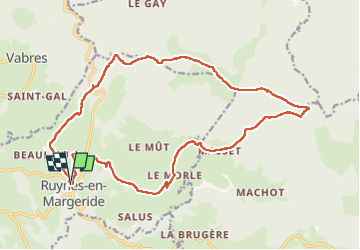

13,6 km | 17,9 km-effort


Gebruiker


Gratisgps-wandelapplicatie
 SityTrail
IGN / Geografische instituten
SityTrail World
De wereld gaat voor u open
Tocht Stappen van 22 km beschikbaar op Auvergne-Rhône-Alpes, Cantal, Ruynes-en-Margeride. Deze tocht wordt voorgesteld door chantde17.
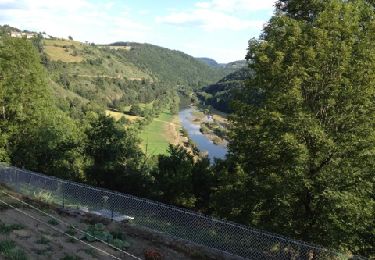
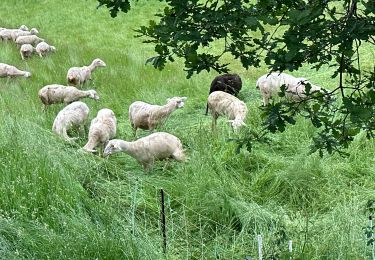
a faire par beau temps .Chemins sans danger ,juste un gué en bas de Morle qui peut mouiller les chaussures et une toute petite partie du chemin après ce gué pas très dégagée.Paysages superbes .
Stappen
Stappen

Stappen
Stappen
Stappen

Wegfiets
Wegfiets
Mountainbike

Auto