


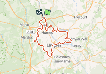

26 km | 33 km-effort


Gebruiker


Gratisgps-wandelapplicatie
 SityTrail
IGN / Geografische instituten
SityTrail World
De wereld gaat voor u open
Tocht Elektrische fiets van 68 km beschikbaar op Grand Est, Haute-Marne, Rolampont. Deze tocht wordt voorgesteld door zombie52.
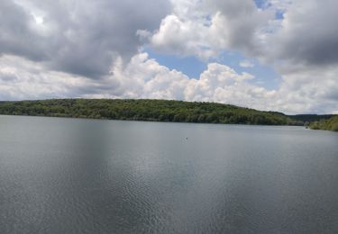
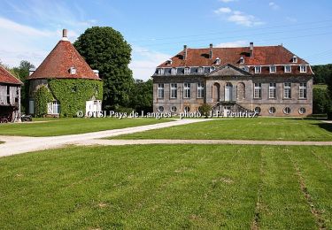
Rolampont - Chanoy - St Martin - St Ciergues - Perrancey - Sts Geosmes - Langres - La Liez - Bannes - Charmes - Hûmes - Rolampont

Stappen
Mountainbike
Mountainbike
Fiets
Stappen
Elektrische fiets
Mountainbike
Mountainbike
Mountainbike