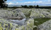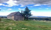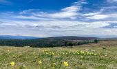

ETANG DE BARANDON PAR LA STATION DE SKI

asclier0
Gebruiker

Lengte
31 km

Max. hoogte
1561 m

Positief hoogteverschil
392 m

Km-Effort
36 km

Min. hoogte
1372 m

Negatief hoogteverschil
392 m
Boucle
Ja
Datum van aanmaak :
2023-04-30 09:25:22.0
Laatste wijziging :
2023-04-30 18:22:06.149
2h11
Moeilijkheid : Medium

Gratisgps-wandelapplicatie
Over ons
Tocht Elektrische fiets van 31 km beschikbaar op Occitanië, Lozère, Cubières. Deze tocht wordt voorgesteld door asclier0.
Beschrijving
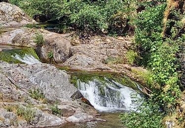
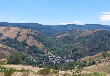
Grands espaces et sous bois. accessible aux familles.
Très roulant dans l'ensemble.
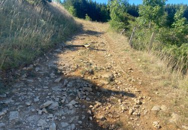
Descente vers l'étang caillouteuse mais courte.
Pour le printemps ou l'automne. L'été, gare aux coups de soleil...
Photos fin avril
Plaatsbepaling
Land:
France
Regio :
Occitanië
Departement/Provincie :
Lozère
Gemeente :
Cubières
Locatie:
Unknown
Vertrek:(Dec)
Vertrek:(UTM)
559535 ; 4921606 (31T) N.
Opmerkingen
Wandeltochten in de omgeving
TOUR MONT LOZERE


Mountainbike
Zeer moeilijk
(1)
Cubières,
Occitanië,
Lozère,
France

38 km | 47 km-effort
3h 14min
Ja
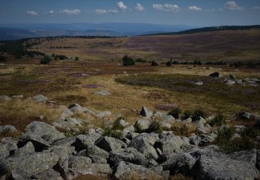
Les prairies du col de Finiels et des monts Lozere


Stappen
Medium
(1)
Mont Lozère et Goulet,
Occitanië,
Lozère,
France

7,2 km | 9,5 km-effort
2h 59min
Ja
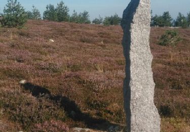
Bleymar _ Le Pont Montvert


Stappen
Moeilijk
(1)
Mont Lozère et Goulet,
Occitanië,
Lozère,
France

22 km | 32 km-effort
5h 19min
Neen
Chemin de Stevenson - Le Bleymard vers Le Pont de Montvert


Stappen
Moeilijk
(1)
Mont Lozère et Goulet,
Occitanië,
Lozère,
France

18,9 km | 28 km-effort
4h 30min
Neen
Finiels/ sommet / station du Bleymard en boucle


Stappen
Moeilijk
Pont de Montvert - Sud Mont Lozère,
Occitanië,
Lozère,
France

20 km | 30 km-effort
5h 38min
Ja
Stevenson étape 8


Stappen
Moeilijk
Mont Lozère et Goulet,
Occitanië,
Lozère,
France

20 km | 30 km-effort
5h 29min
Neen

sources du tarn


Stappen
Medium
(1)
Mont Lozère et Goulet,
Occitanië,
Lozère,
France

13,3 km | 17,3 km-effort
3h 50min
Neen
Etape 6 le Bleymard / Pont Montvert


Stappen
Moeilijk
Mont Lozère et Goulet,
Occitanië,
Lozère,
France

20 km | 29 km-effort
5h 31min
Neen
Fait GTMC 2022 E3 3b


Mountainbike
Moeilijk
Mont Lozère et Goulet,
Occitanië,
Lozère,
France

51 km | 68 km-effort
7h 43min
Neen


 SityTrail


