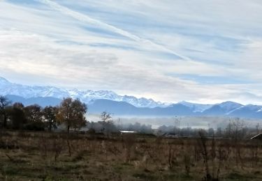
11,4 km | 14,4 km-effort
Bouscarou
didierfage
Gebruiker
Lengte
5,5 km
Max. hoogte
397 m
Positief hoogteverschil
85 m
Km-Effort
6,6 km
Min. hoogte
333 m
Negatief hoogteverschil
84 m
Boucle
Ja
Datum van aanmaak :
2023-04-28 12:04:54.66
Laatste wijziging :
2023-04-28 13:55:58.028
1h50
Moeilijkheid : Medium
Gratisgps-wandelapplicatie
Over ons
Tocht Stappen van 5,5 km beschikbaar op Occitanië, Hautes-Pyrénées, Odos. Deze tocht wordt voorgesteld door didierfage.
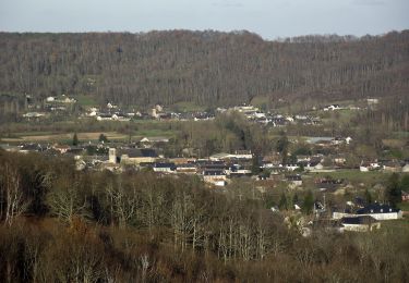
Plaatsbepaling
Land:
France
Regio :
Occitanië
Departement/Provincie :
Hautes-Pyrénées
Gemeente :
Odos
Locatie:
Unknown
Vertrek:(Dec)
Vertrek:(UTM)
260227 ; 4786677 (31T) N.
Opmerkingen
Wandeltochten in de omgeving
Le Chemin Vert
Te voet
Medium
Tarbes,
Occitanië,
Hautes-Pyrénées,
France
18,6 km | 22 km-effort
4h 54min
Neen
Averan les crêtes court
Andere activiteiten
Gemakkelijk
(1)
Lanne,
Occitanië,
Hautes-Pyrénées,
France
10 km | 12,6 km-effort
2h 20min
Ja
bagneres tarbes
Fiets
Gemakkelijk
(1)
Tarbes,
Occitanië,
Hautes-Pyrénées,
France
42 km | 46 km-effort
1h 52min
Ja
Horgues Odos
Noords wandelen
Gemakkelijk
Horgues,
Occitanië,
Hautes-Pyrénées,
France
9,1 km | 9,8 km-effort
2h 3min
Ja
Séméac - Sarrouilles - Oléac-Debat
Mountainbike
Moeilijk
Soues,
Occitanië,
Hautes-Pyrénées,
France
29 km | 35 km-effort
3h 0min
Neen
Séméac - Laloubères - Odos - Hibarette
Mountainbike
Moeilijk
Soues,
Occitanië,
Hautes-Pyrénées,
France
34 km | 40 km-effort
3h 0min
Ja
juillan hibarette louey
Noords wandelen
Heel gemakkelijk
Juillan,
Occitanië,
Hautes-Pyrénées,
France
7,7 km | 9,6 km-effort
1h 38min
Ja
Le Chemin Vert
Stappen
Gemakkelijk
Tarbes,
Occitanië,
Hautes-Pyrénées,
France
17,2 km | 20 km-effort
4h 35min
Neen