


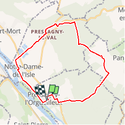

37 km | 47 km-effort


Gebruiker


Gratisgps-wandelapplicatie
 SityTrail
IGN / Geografische instituten
SityTrail World
De wereld gaat voor u open
Tocht Stappen van 15 km beschikbaar op Normandië, Eure, Pressagny-l'Orgueilleux. Deze tocht wordt voorgesteld door douneto.
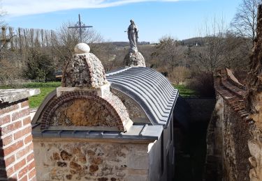
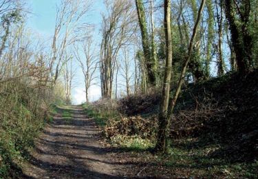
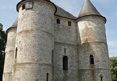
Rando Novembre 2013
Attention période chasse dans Bois du château goujon le lundi, Jeudi et Dimanche !!!(une partie du chemin balisé est privé)

Stappen

Stappen
Stappen
Stappen

Mountainbike

Stappen

Stappen
Stappen
Mountainbike