


15,9 km | 21 km-effort


Gebruiker


Gratisgps-wandelapplicatie
 SityTrail
IGN / Geografische instituten
SityTrail World
De wereld gaat voor u open
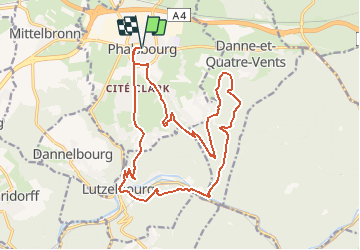
Tocht Stappen van 19,2 km beschikbaar op Grand Est, Moselle, Phalsbourg. Deze tocht wordt voorgesteld door nfranche.
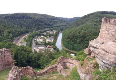
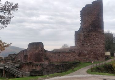
Très belle combinaison d'une bonne partie du circuit des lavoirs avec celui du château de Lutzelbourg qui vaut vraiment la petite grimpette pour l'atteindre
Stappen
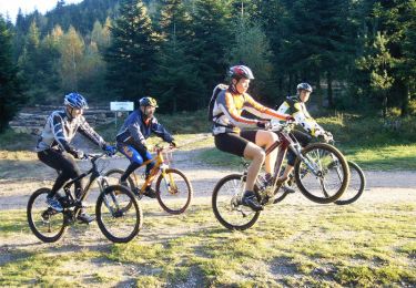
Mountainbike

Stappen

Te voet
Stappen

Stappen
Stappen

Paard
Te voet