259 km | 281 km-effort
Ramée Touch TT 2023
SylveA
Gebruiker
Lengte
14,6 km
Max. hoogte
170 m
Positief hoogteverschil
117 m
Km-Effort
16,3 km
Min. hoogte
130 m
Negatief hoogteverschil
140 m
Boucle
Neen
Datum van aanmaak :
2023-04-23 18:38:51.453
Laatste wijziging :
2023-04-23 18:43:09.194
3h41
Moeilijkheid : Gemakkelijk
Gratisgps-wandelapplicatie
Over ons
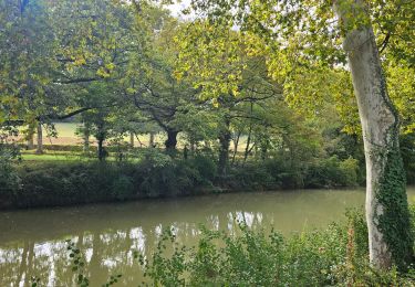
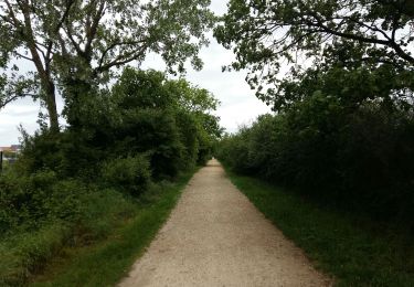
Tocht Te voet van 14,6 km beschikbaar op Occitanië, Haute-Garonne, Toulouse. Deze tocht wordt voorgesteld door SylveA.
Plaatsbepaling
Land:
France
Regio :
Occitanië
Departement/Provincie :
Haute-Garonne
Gemeente :
Toulouse
Locatie:
Unknown
Vertrek:(Dec)
Vertrek:(UTM)
368003 ; 4825237 (31T) N.
Opmerkingen
Wandeltochten in de omgeving
Canal du midi étape 1
Fietstoerisme
Gemakkelijk
Toulouse,
Occitanië,
Haute-Garonne,
France
64 km | 70 km-effort
3h 23min
Neen
Toulouse la ramé le tour du lac
Stappen
Heel gemakkelijk
Tournefeuille,
Occitanië,
Haute-Garonne,
France
4,7 km | 5,1 km-effort
1h 21min
Ja
VELO PLAISANCE LE 08 10 16
Fiets
Medium
(1)
Plaisance-du-Touch,
Occitanië,
Haute-Garonne,
France
57 km | 64 km-effort
3h 38min
Ja
Canal du Midi - Etape 1
Fiets
Heel gemakkelijk
Toulouse,
Occitanië,
Haute-Garonne,
France
55 km | 61 km-effort
3h 28min
Neen
Rive Droite Garonne Toulouse Gagnac
Stappen
Gemakkelijk
Toulouse,
Occitanië,
Haute-Garonne,
France
24 km | 27 km-effort
5h 55min
Neen
Rive Droite Garonne Toulouse Gagnac
Stappen
Gemakkelijk
Toulouse,
Occitanië,
Haute-Garonne,
France
24 km | 27 km-effort
5h 55min
Neen
TT22 Bellefontaine variante
Stappen
Medium
Toulouse,
Occitanië,
Haute-Garonne,
France
11 km | 12,3 km-effort
2h 0min
Neen
St Martin
Stappen
Medium
Toulouse,
Occitanië,
Haute-Garonne,
France
13 km | 14,9 km-effort
3h 30min
Neen