


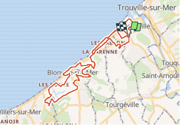


20 km | 22 km-effort


Gebruiker


Gratisgps-wandelapplicatie
 SityTrail
IGN / Geografische instituten
SityTrail World
De wereld gaat voor u open
Tocht Stappen van 24 km beschikbaar op Normandië, Calvados, Deauville. Deze tocht wordt voorgesteld door phiber76.
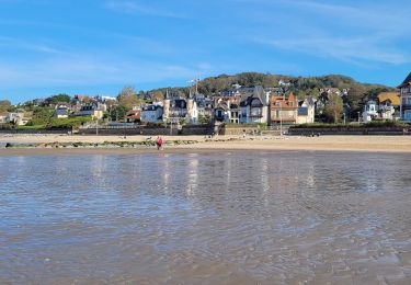
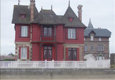
maisons !
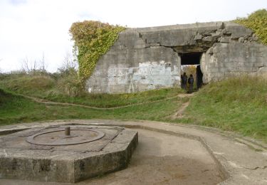
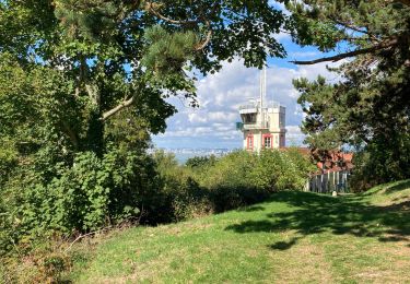
Batterie et point de vue au Mont Canisy
19 km si boucle simple en partant de l'Eglise de Deauville sans la balade supplémentaire en ville
Stappen

Stappen
Stappen
Stappen
Stappen
Stappen
Stappen
Stappen
Stappen