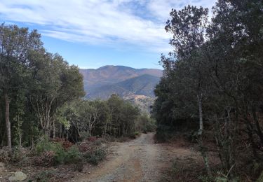
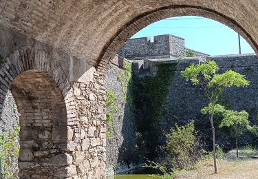
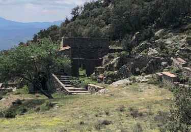
9,4 km | 12,8 km-effort
Le Perthus
mvge
Gebruiker
Lengte
9,9 km
Max. hoogte
491 m
Positief hoogteverschil
385 m
Km-Effort
15 km
Min. hoogte
231 m
Negatief hoogteverschil
390 m
Boucle
Ja
Datum van aanmaak :
2023-04-16 06:52:01.317
Laatste wijziging :
2023-04-17 17:34:25.576
2h55
Moeilijkheid : Medium
Gratisgps-wandelapplicatie
Over ons
Tocht Stappen van 9,9 km beschikbaar op Occitanië, Pyrénées-Orientales, Le Perthus. Deze tocht wordt voorgesteld door mvge.
Plaatsbepaling
Land:
France
Regio :
Occitanië
Departement/Provincie :
Pyrénées-Orientales
Gemeente :
Le Perthus
Locatie:
Unknown
Vertrek:(Dec)
Vertrek:(UTM)
488508 ; 4701303 (31T) N.
Opmerkingen
Wandeltochten in de omgeving
LES CLUSES 66
Stappen
Gemakkelijk
(9)
Les Cluses,
Occitanië,
Pyrénées-Orientales,
France
1h 50min
Ja
66 ST-JEAN-PLA-DE-CORTS, promenade autour du Tech, jusqu'au BOULOU
Stappen
Gemakkelijk
(1)
Saint-Jean-Pla-de-Corts,
Occitanië,
Pyrénées-Orientales,
France
7,9 km | 8,8 km-effort
1h 18min
Ja
SAINT-JEAN-D'ALBERE 66 - PUIG de Sant Christau par le coll de Sant Joan
Stappen
Moeilijk
(1)
L'Albère,
Occitanië,
Pyrénées-Orientales,
France
10,1 km | 17 km-effort
2h 46min
Ja
LES CLUSES 66 - LE PERTHUS -
Stappen
Medium
(2)
Les Cluses,
Occitanië,
Pyrénées-Orientales,
France
14,4 km | 20 km-effort
2h 57min
Ja
autour de St Martin l'albere et puig forcadell
Stappen
Moeilijk
L'Albère,
Occitanië,
Pyrénées-Orientales,
France
10,3 km | 16,5 km-effort
4h 59min
Ja
RIUNOGUES PORTELL PANISSAR
Stappen
Medium
(1)
Maureillas-las-Illas,
Occitanië,
Pyrénées-Orientales,
France
18 km | 26 km-effort
4h 35min
Ja
perthus . panissars . redoute . bellegarde . redoute (court)
Stappen
Medium
(1)
Le Perthus,
Occitanië,
Pyrénées-Orientales,
France
6,6 km | 9,1 km-effort
2h 39min
Ja
20230427 au départ du Perthus-crash DC6 1986
Stappen
Moeilijk
la Jonquera,
Catalonië,
Gerona,
Spain
13,9 km | 21 km-effort
3h 54min
Ja
palissades. la carboniere . fort de bellegrade . panissars
Stappen
Gemakkelijk
Le Perthus,
Occitanië,
Pyrénées-Orientales,
France
9,8 km | 13,5 km-effort
3h 23min
Ja