


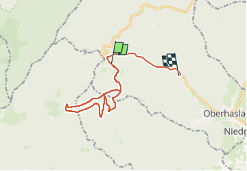

14,9 km | 21 km-effort


Gebruiker


Gratisgps-wandelapplicatie
 SityTrail
IGN / Geografische instituten
SityTrail World
De wereld gaat voor u open
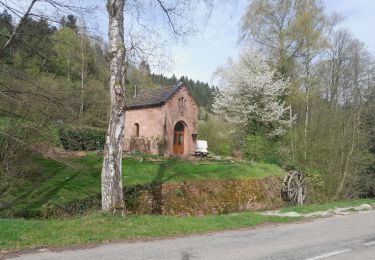
Tocht Stappen van 13,3 km beschikbaar op Grand Est, Bas-Rhin, Oberhaslach. Deze tocht wordt voorgesteld door qlqin.
belle rando un peu sportive, quelques grimpettes bien senties, et incroyable arche à l'arrivée. Descente en souplesse assez courte.

Stappen

Stappen

Mountainbike
Stappen

Stappen

Stappen
Stappen
Stappen
Stappen