


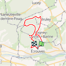

9,2 km | 12 km-effort


Gebruiker


Gratisgps-wandelapplicatie
 SityTrail
IGN / Geografische instituten
SityTrail World
De wereld gaat voor u open
Tocht Stappen van 12,1 km beschikbaar op Grand Est, Meurthe-et-Moselle, Écrouves. Deze tocht wordt voorgesteld door DanielROLLET.
11.11.2014
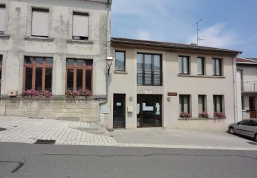
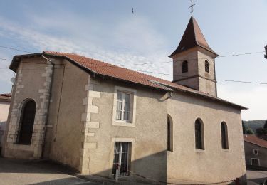
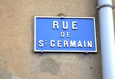
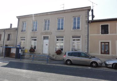
Départ et retour à l'église d'Ecrouves.
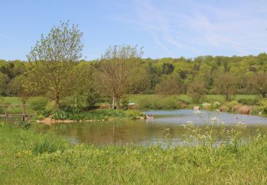
Boucle par le fort de Lucey, le Val des Nonnes, Bruley et Pagney derrière Barine
Te voet

Mountainbike
Mountainbike
Te voet
Te voet
Te voet
Te voet
Te voet
Te voet