


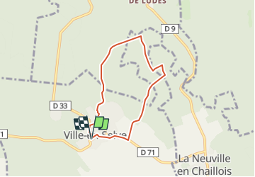


12,6 km | 15,5 km-effort


Gebruiker


Gratisgps-wandelapplicatie
 SityTrail
IGN / Geografische instituten
SityTrail World
De wereld gaat voor u open
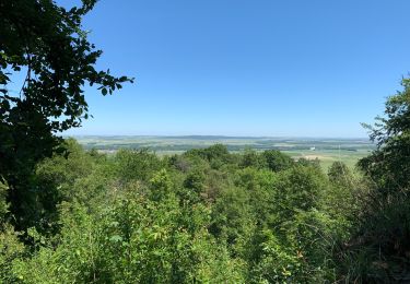
Tocht Stappen van 5,6 km beschikbaar op Grand Est, Marne, Ville-en-Selve. Deze tocht wordt voorgesteld door quatre sans cinq.

Stappen
Stappen
Mountainbike

Stappen

Mountainbike
Stappen
Stappen