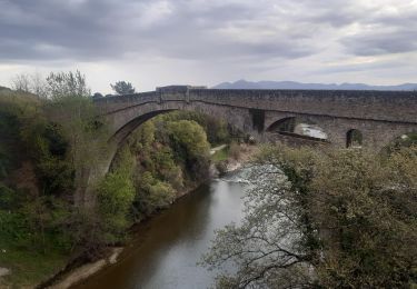
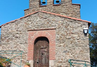
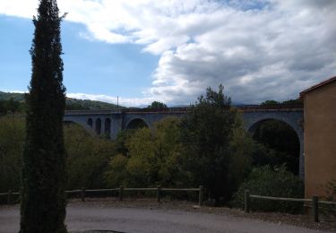
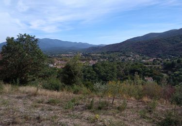
Tocht Stappen Taillet - chapelle notre Dame de la route n 2 - Photo

chapelle notre Dame de la route n 2

 Mesquida
Mesquida

Gebruiker

© OpenStreetMap contributors
Lengte
Lengte
13,7 km
Max. hoogte
Max. hoogte
640 m
Positief hoogteverschil
415 m
Km-Effort
Km-Effort  
19,3 km
Min. hoogte
Min. hoogte
379 m
Negatief hoogteverschil
415 m
Boucle
Boucle
Ja
Datum van aanmaak :
2023-04-02 07:17:50.388
Laatste wijziging :
2023-04-02 13:25:32.822

(0 Bericht)

Stappen
Stappen
4h02
Moeilijkheid : Zeer moeilijk

Scan deze QR-code om de tocht te openen in de SityTrail-applicatie

Gratisgps-wandelapplicatie

Logo SityTrail SityTrail

IGN / Geografische instituten

SityTrail uit de App Store downloaden SityTrail uit Google Play downloaden

Logo SityTrail SityTrail World

De wereld gaat voor u open

SityTrail uit de App Store downloaden SityTrail uit Google Play downloaden SityTrail op Huawei AppGallery downloaden

Over ons

Tocht Stappen van 13,7 km beschikbaar op Occitanië, Pyrénées-Orientales, Taillet. Deze tocht wordt voorgesteld door Mesquida.

Hoogteprofiel

Plaatsbepaling

Land:
France
Regio :
Occitanië
Departement/Provincie :
Pyrénées-Orientales
Gemeente :
Taillet
Locatie:
Unknown
Vertrek:(Dec)
Vertrek:(UTM)
474643 ; 4706339 (31T) N.

Wandeltochten in de omgeving

Tocht Stappen Céret - Céret pont du Diable . Saint Feriol (boucle sens aiguilles de la montre) - Photo
Stappen
GUIDE
stef789

Stappen

Gemakkelijk
(1)
Céret, Occitanië, Pyrénées-Orientales, France
8,5 km | 11,9 km-effort
3h 44min
Ja
Tocht Stappen Céret - Ermitage de saint ferreol - Photo
Stappen
philippe66

Stappen

Medium
(1)
Céret, Occitanië, Pyrénées-Orientales, France
7,6 km | 10,4 km-effort
1h 59min
Ja
Tocht Stappen Céret - blacon de ceret via la cascade - Photo
Stappen
philippe66

Stappen

Medium
(3)
Céret, Occitanië, Pyrénées-Orientales, France
10,1 km | 14,4 km-effort
3h 9min
Ja
Tocht Stappen Llauro - Col de Llauro- Roc del Quers - Photo
Stappen
perittel

Stappen

Gemakkelijk
(1)
Llauro, Occitanië, Pyrénées-Orientales, France
8,9 km | 12,9 km-effort
3h 11min
Ja
Tocht Stappen Montbolo - Montbolo: du col dela reducta au col de Formentera - Photo
Stappen
robertperello

Stappen

Medium
Montbolo, Occitanië, Pyrénées-Orientales, France
11,9 km | 17 km-effort
3h 4min
Ja
Tocht Stappen Taillet - notre dame del roure .  taillet . Notre dame del roure  - Photo
Stappen
GUIDE
stef789

Stappen

Gemakkelijk
Taillet, Occitanië, Pyrénées-Orientales, France
10,7 km | 15,3 km-effort
3h 45min
Ja
Tocht Andere activiteiten Reynès - Reynes mine de talc+ cascade - Photo
Andere activiteiten
robertperello

Andere activiteiten

Moeilijk
(1)
Reynès, Occitanië, Pyrénées-Orientales, France
8,5 km | 14,4 km-effort
2h 50min
Ja
Tocht Stappen Céret - st Ferriol - Photo
Stappen
gogo1965

Stappen

Gemakkelijk
Céret, Occitanië, Pyrénées-Orientales, France
8,2 km | 11,4 km-effort
2h 15min
Ja
Tocht Stappen Céret - le ventous ceret - Photo
Stappen
gogo1965

Stappen

Medium
Céret, Occitanië, Pyrénées-Orientales, France
6 km | 8,9 km-effort
1h 41min
Neen


Sluiten
Mijn abonnementen