


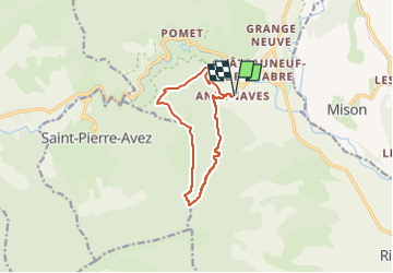

11 km | 17,2 km-effort


Gebruiker GUIDE


Gratisgps-wandelapplicatie
 SityTrail
IGN / Geografische instituten
SityTrail World
De wereld gaat voor u open
Tocht Stappen van 10,7 km beschikbaar op Provence-Alpes-Côte d'Azur, Hautes-Alpes, Val-Buëch-Méouge. Deze tocht wordt voorgesteld door Marco05.
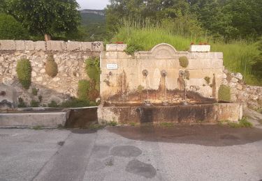
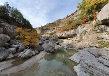
Très belle randonnée dans une ambiance plus sud que haute montagne.
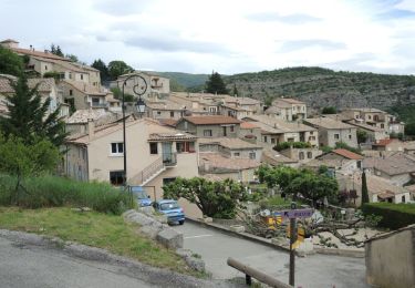
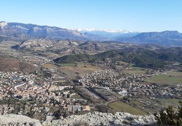
Pas de difficultés particulières, sauf une pente un peu raide pour finir au sommet.
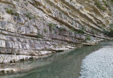
Une fois atteint, il faudra faire attention au vide côté sud.
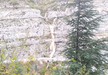
La descente est assez douce.


Stappen
Stappen
Stappen

Stappen
Stappen

Stappen
Stappen
Stappen
Stappen