


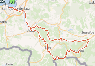

18,8 km | 27 km-effort


Gebruiker


Gratisgps-wandelapplicatie
 SityTrail
IGN / Geografische instituten
SityTrail World
De wereld gaat voor u open
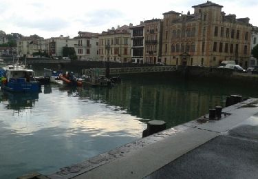
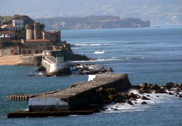
Tocht Mountainbike van 60 km beschikbaar op Nieuw-Aquitanië, Pyrénées-Atlantiques, Ciboure. Deze tocht wordt voorgesteld door kiki64122.
Sortie VTT Elec, attention a bien géré la batterie. Circuit roulant avec passage nécessitant de poser parfois le pied à terre.

Stappen

Stappen

Mountainbike
Mountainbike

Stappen
Stappen
Stappen
Stappen
Stappen