


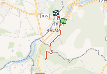

15,1 km | 25 km-effort


Gebruiker GUIDE


Gratisgps-wandelapplicatie
 SityTrail
IGN / Geografische instituten
SityTrail World
De wereld gaat voor u open
Tocht Stappen van 3 km beschikbaar op Provence-Alpes-Côte d'Azur, Vaucluse, Fontaine-de-Vaucluse. Deze tocht wordt voorgesteld door dudu42.
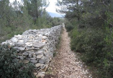
Début de superbes randonnées depuis le long du canal à partir de l' acqueduc. D'autres embranchements se situes le long du chemin.


Stappen

Stappen

Stappen

Stappen

Stappen

Stappen

Stappen

Hybride fiets
Stappen