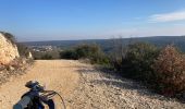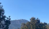

Tour du Mont-Bouquet

asclier0
Gebruiker

Lengte
28 km

Max. hoogte
356 m

Positief hoogteverschil
437 m

Km-Effort
34 km

Min. hoogte
140 m

Negatief hoogteverschil
437 m
Boucle
Ja
Datum van aanmaak :
2023-03-11 13:05:35.0
Laatste wijziging :
2023-03-12 15:45:45.426
1h25
Moeilijkheid : Medium

Gratisgps-wandelapplicatie
Over ons
Tocht Elektrische fiets van 28 km beschikbaar op Occitanië, Gard, Rousson. Deze tocht wordt voorgesteld door asclier0.
Beschrijving
Départ de la station d'épuration du Mas Chabert. Possible de se garer au Mas Chabert.
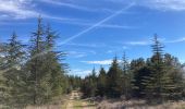
Boucle roulante et non technique effectué en VTTAE.
Plaine agricole, DFCI et route secondaire.
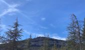
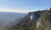
Garrigue et jolis villages traversés.
Plaatsbepaling
Land:
France
Regio :
Occitanië
Departement/Provincie :
Gard
Gemeente :
Rousson
Locatie:
Unknown
Vertrek:(Dec)
Vertrek:(UTM)
595899 ; 4892184 (31T) N.
Opmerkingen
Wandeltochten in de omgeving
Les Aiguiéres au départ de Call


Stappen
Moeilijk
(1)
Navacelles,
Occitanië,
Gard,
France

10,4 km | 14,9 km-effort
4h 39min
Ja
Aiguieres par Cal


Stappen
Medium
(2)
Navacelles,
Occitanië,
Gard,
France

8,9 km | 12,6 km-effort
2h 20min
Ja
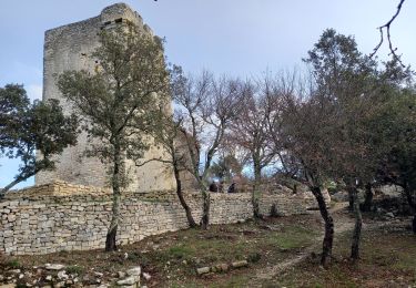
Mont Bouquet


Stappen
Medium
Brouzet-lès-Alès,
Occitanië,
Gard,
France

14,5 km | 21 km-effort
3h 41min
Ja
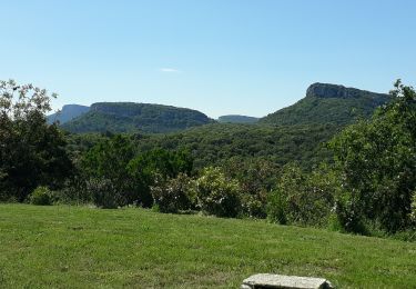
Château d'Allegre / Aiguières


Stappen
Moeilijk
Navacelles,
Occitanië,
Gard,
France

20 km | 29 km-effort
7h 18min
Ja
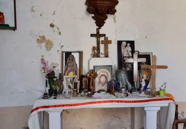
Argensol, chapelle St Saturnin, Château d'Alègre


Stappen
Moeilijk
Allègre-les-Fumades,
Occitanië,
Gard,
France

8,7 km | 12,1 km-effort
2h 44min
Ja
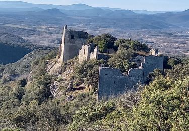
Chateau d'Allegre par les crêtes et défilé d'Argensol


Stappen
Medium
Allègre-les-Fumades,
Occitanië,
Gard,
France

9,5 km | 13 km-effort
3h 42min
Ja
Château d'Allègre depuis la Bégude


Stappen
Medium
Allègre-les-Fumades,
Occitanië,
Gard,
France

5,2 km | 7,2 km-effort
2h 17min
Ja

20190331_132501.gpx


Stappen
Medium
(1)
Allègre-les-Fumades,
Occitanië,
Gard,
France

9 km | 12,4 km-effort
2h 37min
Ja


 SityTrail


