90 km | 113 km-effort
giraldes-chanaleilles 32k
ophness
Gebruiker
Lengte
31 km
Max. hoogte
1495 m
Positief hoogteverschil
505 m
Km-Effort
38 km
Min. hoogte
1120 m
Negatief hoogteverschil
659 m
Boucle
Neen
Datum van aanmaak :
2023-03-09 18:07:51.506
Laatste wijziging :
2023-03-10 07:06:14.812
4h26
Moeilijkheid : Moeilijk
Gratisgps-wandelapplicatie
Over ons
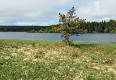
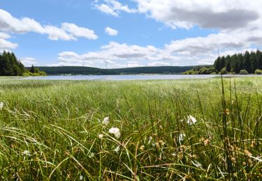
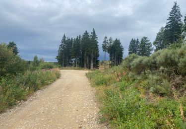
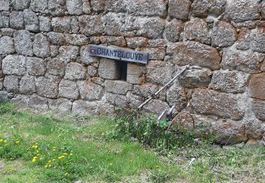
Tocht Paardrijden van 31 km beschikbaar op Occitanië, Lozère, Arzenc-de-Randon. Deze tocht wordt voorgesteld door ophness.
Plaatsbepaling
Land:
France
Regio :
Occitanië
Departement/Provincie :
Lozère
Gemeente :
Arzenc-de-Randon
Locatie:
Unknown
Vertrek:(Dec)
Vertrek:(UTM)
547269 ; 4946207 (31T) N.
Opmerkingen
Wandeltochten in de omgeving
06 GTMC Le Giraldès-Le Pont de Monvert
Mountainbike
Gemakkelijk
(1)
Arzenc-de-Randon,
Occitanië,
Lozère,
France
15min
Neen
Le tour du lac de Charpal
Stappen
Heel gemakkelijk
(1)
Monts-de-Randon,
Occitanië,
Lozère,
France
9 km | 10,2 km-effort
2h 20min
Ja
tour du lamc Charpal
Stappen
Gemakkelijk
(2)
Monts-de-Randon,
Occitanië,
Lozère,
France
9,4 km | 10,8 km-effort
3h 5min
Ja
Charpal
Stappen
Gemakkelijk
Monts-de-Randon,
Occitanië,
Lozère,
France
17,6 km | 22 km-effort
5h 11min
Ja
Fait GTMC 2022 E2 3,3 b
Mountainbike
Moeilijk
Arzenc-de-Randon,
Occitanië,
Lozère,
France
54 km | 69 km-effort
6h 14min
Neen
Arzenc de Rendon
Stappen
Gemakkelijk
Arzenc-de-Randon,
Occitanië,
Lozère,
France
10,6 km | 14,5 km-effort
3h 9min
Ja
Truc de Fortunio et lac de Charpal
Stappen
Medium
Monts-de-Randon,
Occitanië,
Lozère,
France
16,6 km | 22 km-effort
5h 48min
Ja
GTMC de Claire - 6
Mountainbike
Zeer moeilijk
Arzenc-de-Randon,
Occitanië,
Lozère,
France
58 km | 74 km-effort
4h 30min
Neen
Tour du lac de Charpal
Stappen
Medium
Monts-de-Randon,
Occitanië,
Lozère,
France
9,1 km | 10,5 km-effort
1h 59min
Ja