


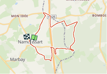

24 km | 31 km-effort


Gebruiker GUIDE


Gratisgps-wandelapplicatie
 SityTrail
IGN / Geografische instituten
SityTrail World
De wereld gaat voor u open
Tocht Stappen van 8,5 km beschikbaar op Wallonië, Luxemburg, Neufchâteau. Deze tocht wordt voorgesteld door Bernard Gillet.
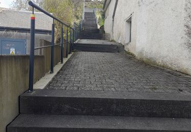
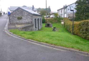
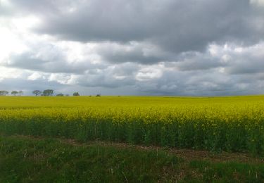
Beau parcours de 8k500 au lieu des 10 prévus. Balisage ok... avec route (très peu), bois et chemins campagnards.
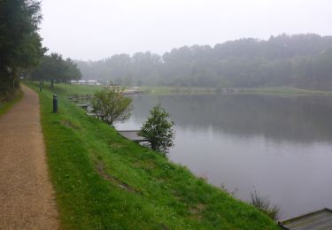
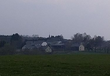
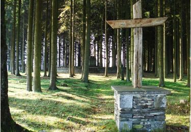
 Neufchateau - Photo 1")
 Neufchateau - Photo 2")
 Neufchateau - Photo 3")
 Neufchateau - Photo 4")
 Neufchateau - Photo 5")
 Neufchateau - Photo 6")
 Neufchateau - Photo 7")

Stappen
Stappen
Stappen
Stappen
Stappen
Stappen

Mountainbike
Mountainbike
Stappen