


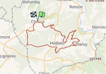

18,4 km | 24 km-effort

Gebruiker


Gratisgps-wandelapplicatie
 SityTrail
IGN / Geografische instituten
SityTrail World
De wereld gaat voor u open
Tocht Stappen van 20 km beschikbaar op Wallonië, Luxemburg, Rendeux. Deze tocht wordt voorgesteld door Thierry Deppe.
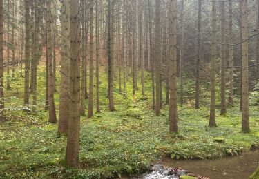
Superbe points de vues de la vallée de l’Ourthe
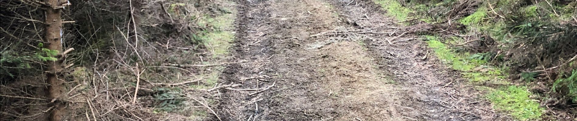
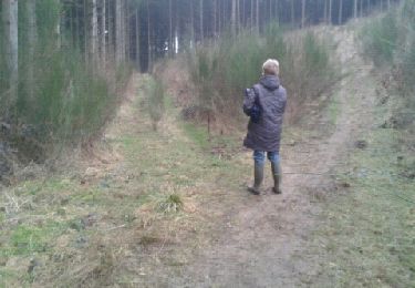
Un peu de hors piste
Début assez difficile, cote avec ronces…
Attention chaussures étanches conseillées


Stappen

Stappen

Stappen

Stappen

Stappen

Stappen

Stappen
Stappen
Stappen