


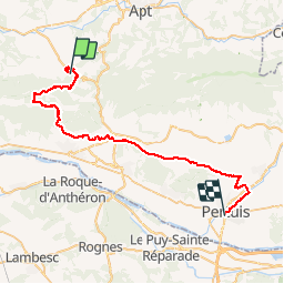

9,3 km | 14,2 km-effort


Gebruiker


Gratisgps-wandelapplicatie
 SityTrail
IGN / Geografische instituten
SityTrail World
De wereld gaat voor u open
Tocht Mountainbike van 45 km beschikbaar op Provence-Alpes-Côte d'Azur, Vaucluse, Bonnieux. Deze tocht wordt voorgesteld door lauramb.
TDL 2015 CM2 école Georges Brassens.
Étape 5 (la plus longue)
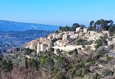
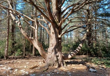
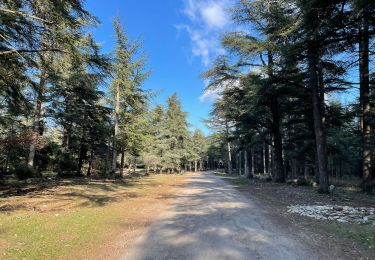
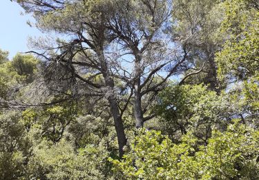
Bonnieux - Pertuis en passant par la forêt des Cèdres.

Stappen

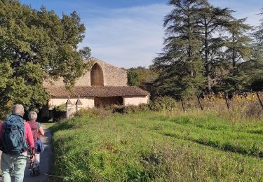
Te voet

Stappen
Stappen
Stappen
Stappen
Stappen
Stappen
Stappen