


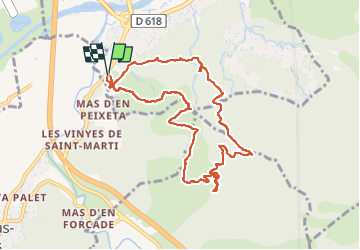

8,4 km | 10,5 km-effort

Gebruiker


Gratisgps-wandelapplicatie
 SityTrail
IGN / Geografische instituten
SityTrail World
De wereld gaat voor u open
Tocht Stappen van 10,4 km beschikbaar op Occitanië, Pyrénées-Orientales, Le Boulou. Deze tocht wordt voorgesteld door ThonyM.
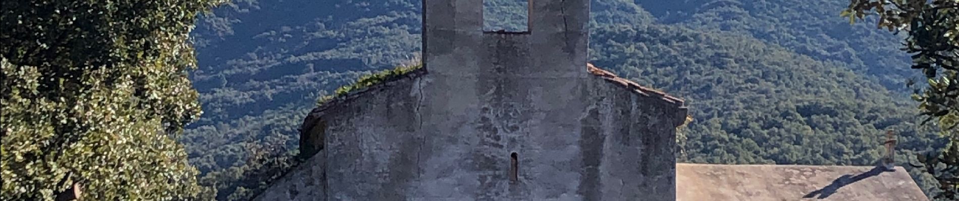
L’accès à La Chapelle est interdit au public . Le proprio nous a dit qu’il n’aimait pas voir du monde autour. Construite au Xieme siècle


Stappen

Stappen

Stappen

Stappen

Stappen

Stappen

Stappen

Hybride fiets

Stappen