


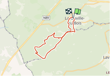

12,3 km | 15,8 km-effort


Gebruiker


Gratisgps-wandelapplicatie
 SityTrail
IGN / Geografische instituten
SityTrail World
De wereld gaat voor u open
Tocht Stappen van 12,8 km beschikbaar op Wallonië, Luxemburg, Tenneville. Deze tocht wordt voorgesteld door micheldutilleul.
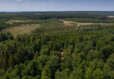
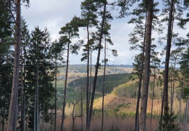
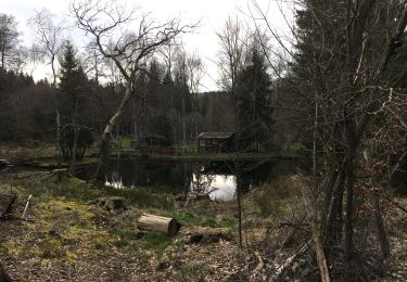
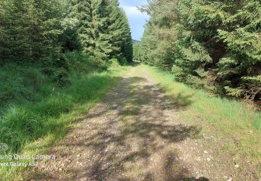
Magnifique balade dans la forêt de Saint Hubert.
Quelques ruisseaux, rivières le long de la balade et un peu de dénivelé.
Stappen
Stappen
Stappen

Stappen
Stappen

Stappen
Te voet
Te voet
Stappen