

coudon sud et crête ouest

cdanielrando
Gebruiker

Lengte
5,9 km

Max. hoogte
682 m

Positief hoogteverschil
488 m

Km-Effort
12,4 km

Min. hoogte
205 m

Negatief hoogteverschil
479 m
Boucle
Ja
Datum van aanmaak :
2023-02-13 08:29:50.576
Laatste wijziging :
2023-10-13 09:01:07.397
3h48
Moeilijkheid : Moeilijk

Gratisgps-wandelapplicatie
Over ons
Tocht Stappen van 5,9 km beschikbaar op Provence-Alpes-Côte d'Azur, Var, La Valette-du-Var. Deze tocht wordt voorgesteld door cdanielrando.
Beschrijving
Pk au bout de la route de Baudouvin à la barrière DFCI. La montée jusqu'aux aux installations militaires du sommet est très raide du km 1 au km 2, les mains sont nécessaires. Le reste du circuit ne présente pas de difficultés particulières
Plaatsbepaling
Land:
France
Regio :
Provence-Alpes-Côte d'Azur
Departement/Provincie :
Var
Gemeente :
La Valette-du-Var
Locatie:
Unknown
Vertrek:(Dec)
Vertrek:(UTM)
743598 ; 4782330 (31T) N.
Opmerkingen
Wandeltochten in de omgeving
Boucle: La ripelle - Source de la ripelle - Le Chateau de Tourris - Les grott...


Stappen
Medium
(1)
Le Revest-les-Eaux,
Provence-Alpes-Côte d'Azur,
Var,
France

14,1 km | 21 km-effort
4h 15min
Ja
Faron versant Nord


Stappen
Zeer moeilijk
(1)
Toulon,
Provence-Alpes-Côte d'Azur,
Var,
France

9,9 km | 17,5 km-effort
6h 38min
Ja
SityTrail - Le tour du coudon


Stappen
Moeilijk
(1)
La Valette-du-Var,
Provence-Alpes-Côte d'Azur,
Var,
France

11,9 km | 19,4 km-effort
5h 0min
Ja

Boucle: Ripelle - Touravelle - Ruines des olivieres - Carrière aux fourmis ...


Stappen
Medium
(1)
Le Revest-les-Eaux,
Provence-Alpes-Côte d'Azur,
Var,
France

13,4 km | 19,4 km-effort
5h 0min
Ja
SityTrail - Le Revest - Tourris - Confinement 04 2021


Stappen
Gemakkelijk
La Valette-du-Var,
Provence-Alpes-Côte d'Azur,
Var,
France

11,8 km | 18,8 km-effort
7h 0min
Ja
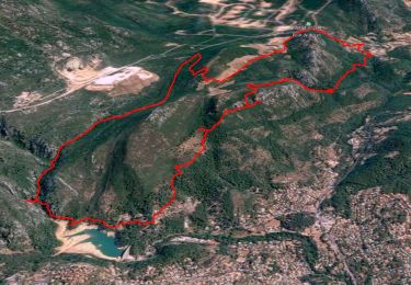
Le Revest - Tourris - Confinement 04 2021


Stappen
Medium
La Valette-du-Var,
Provence-Alpes-Côte d'Azur,
Var,
France

12,1 km | 19,1 km-effort
6h 0min
Ja
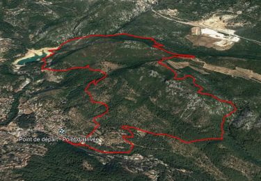
Boucle découverte Ripelle - Mont Combe - Olivières - Ragas - Barrage - Tourav...


Stappen
Medium
Le Revest-les-Eaux,
Provence-Alpes-Côte d'Azur,
Var,
France

9,7 km | 15,8 km-effort
5h 0min
Ja
Les hauteurs de La ripelle - Le revest Les eaux


Stappen
Moeilijk
Le Revest-les-Eaux,
Provence-Alpes-Côte d'Azur,
Var,
France

7 km | 11,8 km-effort
2h 49min
Ja
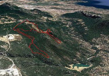
SityTrail - Boucle: Ripelle - Source Ripelle - Tourris - Grottes de sables - ...


Stappen
Gemakkelijk
La Valette-du-Var,
Provence-Alpes-Côte d'Azur,
Var,
France

11,9 km | 16,8 km-effort
5h 30min
Ja


 SityTrail


