


358 km | 524 km-effort

Gebruiker


Gratisgps-wandelapplicatie
 SityTrail
IGN / Geografische instituten
SityTrail World
De wereld gaat voor u open
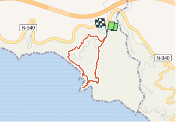
Tocht Stappen van 3,3 km beschikbaar op Andalusië, Málaga, Nerja. Deze tocht wordt voorgesteld door jpipacific.
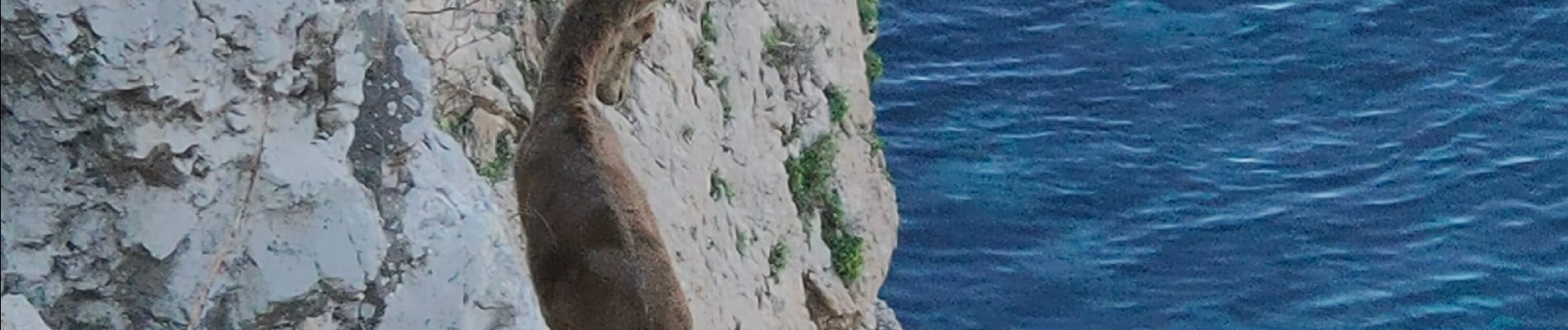
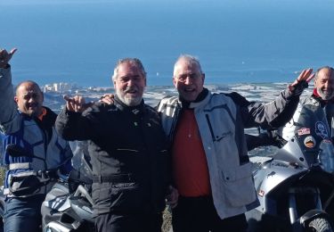
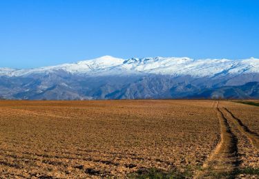
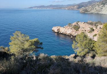
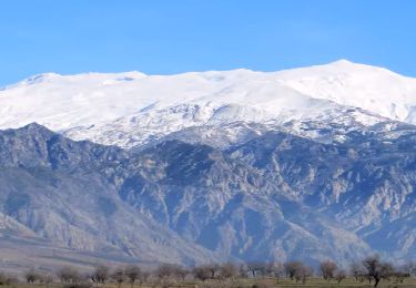
Magnifique balade.
C'est beau tout le temps.
Espérons que les gens respecterons ces lieux et qu'ils pourront conserver le coté sauvage d'aujourd'hui.
Nous avons vu des cabras Montesa faire des acrobaties dans les rochers avec un vide impressionnant au dessus de la mer.


Moto-cross
Moto-cross
Moto-cross

Moto-cross
Moto-cross
Stappen
Moto-cross
Moto-cross
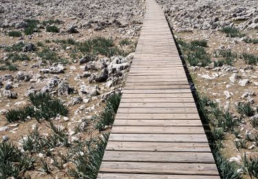
Stappen