


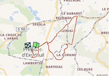

10,2 km | 14 km-effort


Gebruiker


Gratisgps-wandelapplicatie
 SityTrail
IGN / Geografische instituten
SityTrail World
De wereld gaat voor u open
Tocht Stappen van 7,9 km beschikbaar op Nieuw-Aquitanië, Dordogne, Preyssac-d'Excideuil. Deze tocht wordt voorgesteld door YV24.
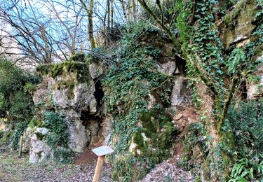
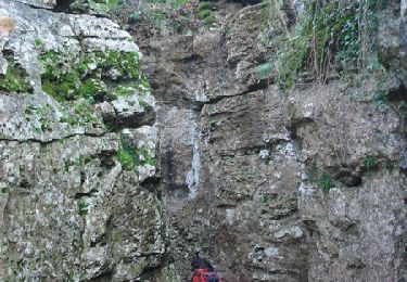
Boucle avec balisage spécifique, non conventionnel : petit panneaux illustrés. Un peu de route, peu de diversité. Praticable en tout temps.

Stappen
Stappen
Mountainbike

Stappen
Stappen
Stappen
Stappen
Stappen
Te voet