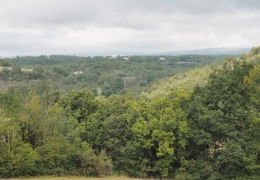
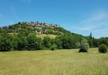
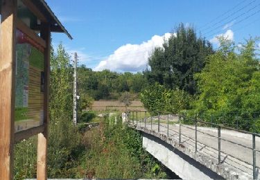
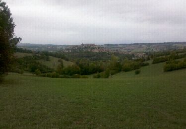
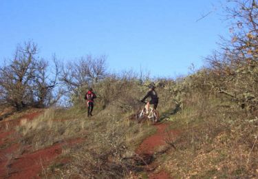
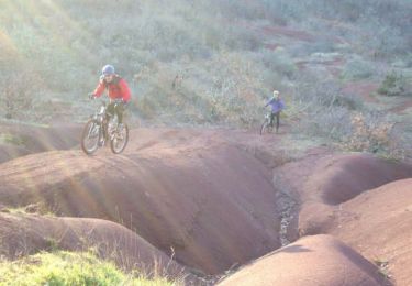
11,2 km | 14,6 km-effort
sentier du Causse et un peu plus...
chripaci
Gebruiker
Lengte
12,4 km
Max. hoogte
306 m
Positief hoogteverschil
345 m
Km-Effort
16,9 km
Min. hoogte
183 m
Negatief hoogteverschil
342 m
Boucle
Ja
Datum van aanmaak :
2023-01-29 07:55:44.0
Laatste wijziging :
2023-01-29 16:28:13.379
2h49
Moeilijkheid : Moeilijk
Gratisgps-wandelapplicatie
Over ons
Tocht Noords wandelen van 12,4 km beschikbaar op Occitanië, Tarn, Souel. Deze tocht wordt voorgesteld door chripaci.
Beschrijving
la boucle se fait en 2H 30 en augmentant le rythme mais vu la longueur et les dénivelés, comptez 2H50...
Plaatsbepaling
Land:
France
Regio :
Occitanië
Departement/Provincie :
Tarn
Gemeente :
Souel
Locatie:
Unknown
Vertrek:(Dec)
Vertrek:(UTM)
418024 ; 4875653 (31T) N.
Opmerkingen
Wandeltochten in de omgeving
Cordes-sur-ciel / Sentier du Causse (boucle)
Stappen
Gemakkelijk
(3)
Souel,
Occitanië,
Tarn,
France
3h 8min
Ja
81_Les Cabannes_meulière_longue
Stappen
Medium
(1)
Amarens,
Occitanië,
Tarn,
France
16,4 km | 23 km-effort
4h 51min
Ja
Souel la Riviere
Stappen
Gemakkelijk
Souel,
Occitanië,
Tarn,
France
13,2 km | 16,7 km-effort
3h 37min
Ja
Cordes sur Ciel
Stappen
Gemakkelijk
Cordes-sur-Ciel,
Occitanië,
Tarn,
France
13,8 km | 17,6 km-effort
6h 0min
Ja
Cordes-Pechbonnieu
Stappen
Medium
Cordes-sur-Ciel,
Occitanië,
Tarn,
France
95 km | 114 km-effort
30h 0min
Neen
Aveyron-121016 - Cordes-SentierBleu (txt,gps,foto)
Stappen
Heel gemakkelijk
Cordes-sur-Ciel,
Occitanië,
Tarn,
France
12,5 km | 17 km-effort
5h 11min
Ja
Falaise et dune à Cordes sur Ciel
Mountainbike
Moeilijk
Les Cabannes,
Occitanië,
Tarn,
France
29 km | 38 km-effort
2h 0min
Ja
Cordes - Les cabannes, Mouzieys-Panens
Mountainbike
Moeilijk
Les Cabannes,
Occitanië,
Tarn,
France
29 km | 38 km-effort
3h 0min
Ja
Cordes sur Ciel
Stappen
Gemakkelijk
Cordes-sur-Ciel,
Occitanië,
Tarn,
France
5,6 km | 7,8 km-effort
1h 56min
Ja