


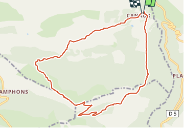


14,7 km | 19,9 km-effort

Gebruiker


Gratisgps-wandelapplicatie
 SityTrail
IGN / Geografische instituten
SityTrail World
De wereld gaat voor u open
Tocht Stappen van 11,1 km beschikbaar op Provence-Alpes-Côte d'Azur, Alpes-Maritimes, Andon. Deze tocht wordt voorgesteld door boulinevelyne.
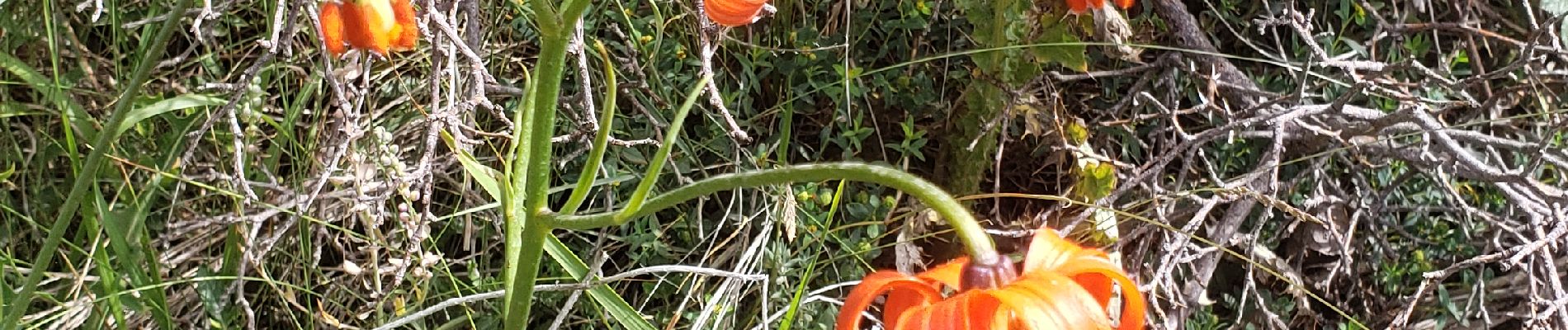
Lys pomponne et autres fleurs
Prévoir anti moustique beaucoup de Taons
2 voitures à Canaux et navette ensuite

Stappen

Stappen

Stappen

Stappen

Te voet

Stappen

Stappen
Stappen
Stappen