


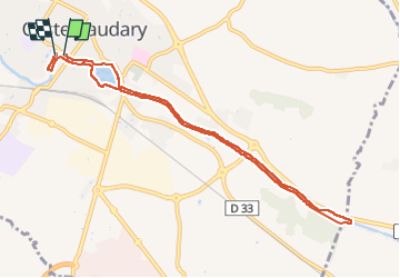

26 km | 33 km-effort


Gebruiker


Gratisgps-wandelapplicatie
 SityTrail
IGN / Geografische instituten
SityTrail World
De wereld gaat voor u open
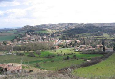
Tocht Stappen van 9,7 km beschikbaar op Occitanië, Aude, Castelnaudary. Deze tocht wordt voorgesteld door Mamilaure.
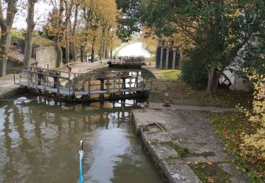
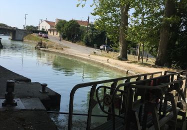
Promenade très facile à faire avec des moments de marche plus toniques pour varier tout en appréciant la douceur du canal
Mountainbike

Stappen
Fietstoerisme
Stappen
Stappen
Motorboot
Motorboot
Stappen
Mountainbike